Kalispell, MT|Local Classified|Other|

The Yaak: What to Know Before You Drive Montana's Highway 508 | Shangrilog
North of Troy, in the far northwest corner of Lincoln County, a two-lane road turns off US Highway 2 and heads into country that most Montanans have heard about and comparatively few have driven. Montana Highway 508 follows the Yaak River roughly 29 miles north to the community of Yaak, and it remains one of the least-developed corridors in the state.
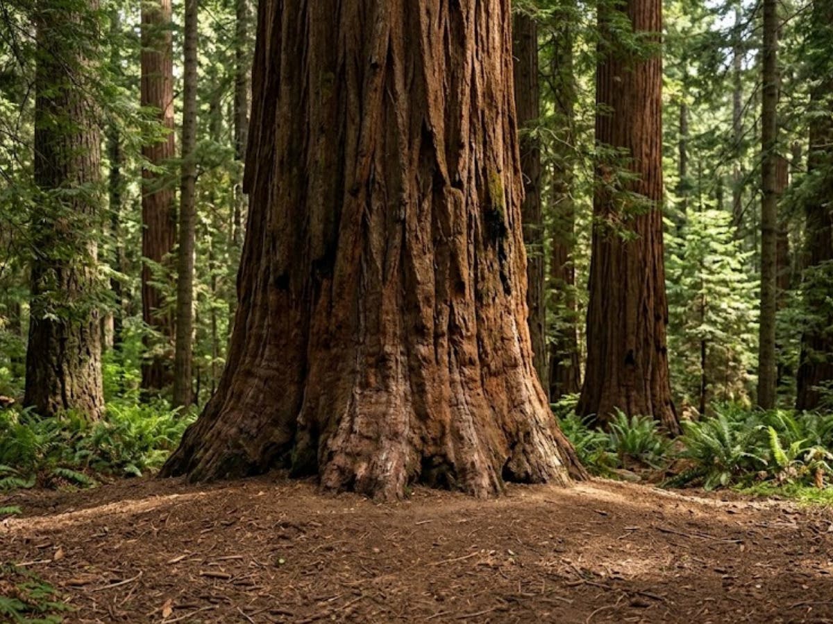
The valley sits entirely within the Kootenai National Forest, about 2.2 million acres, and butts up against both the Idaho state line and the Canadian border. Its character comes largely from weather. Pacific storm systems push inland and collide with Rocky Mountain air here, producing heavy precipitation and deep winter snowpack. That moisture supports pockets of inland temperate rainforest — western red cedar and western hemlock stands unusual this far east of the coast — which is why the area is sometimes described as Montana's rainforest.
Fuel, food and phones
Visitors consistently underestimate how remote the drive is. There is no cell service in the valley. From the moment a vehicle turns north off Highway 2, drivers should assume they cannot call for help, look up directions or check conditions until they come back out.
Fuel deserves the same planning. The Yaak River Tavern and Mercantile, at the road junction in Yaak, does sell gasoline and carries basic groceries, but it is the only pump for roughly 35 miles and hours vary by season. Troy and Libby are the reliable stops. Filling the tank before leaving Highway 2 is standard practice among people who drive this road regularly.
What's along the way
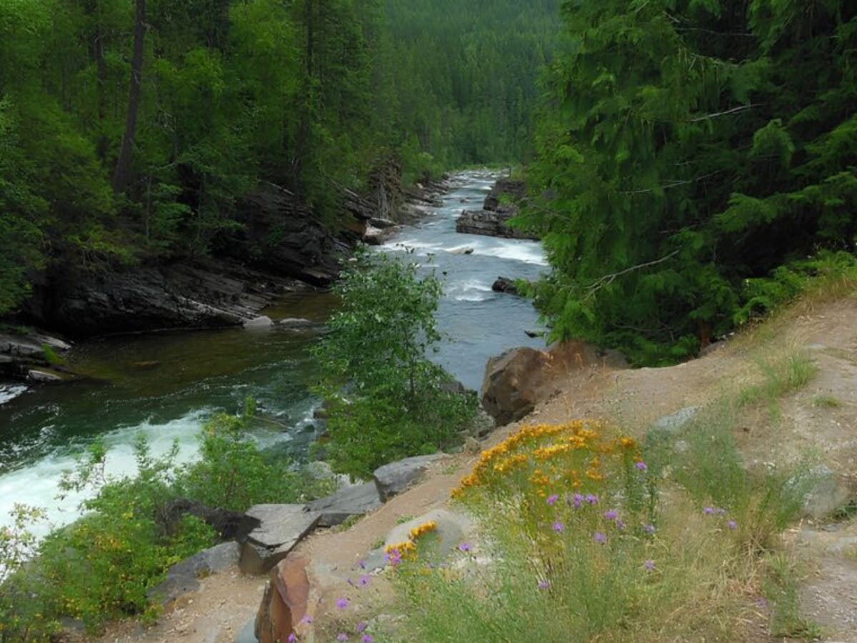
Yaak Falls sits around the seven-mile marker, with a small Forest Service campground of the same name beside it. The falls run as a series of chutes rather than a single drop, and they are loudest during spring runoff. The rock stays slick and the current is stronger than it appears from the bank.
Farther north, the Northwest Peaks Scenic Area offers the valley's best-known hiking, with summits topping 7,700 feet and views into British Columbia's Purcell range. Trailhead access runs on forest roads that can be rough or seasonally gated; the Three Rivers Ranger District office in Troy, at (406) 295-4693, can confirm current conditions.
The Forest Service also rents several historic fire lookouts in the area seasonally through Recreation.gov. They book far in advance and are genuinely rustic — no power, no running water.
Wildlife and season
The valley falls inside the Cabinet–Yaak grizzly recovery zone. Black bears, grizzlies, wolves, moose, elk and mountain lions all range through the drainage. Encounters are uncommon, but carrying bear spray within reach and securing food are basic precautions here, not optional ones.
Late summer and fall draw the most favorable conditions. Larch turn gold through October and traffic thins considerably. July and August fall within fire season, so checking Kootenai National Forest alerts before departure is worthwhile. Highway 508 is maintained in winter, though side roads are not plowed and the northern loop toward Lake Koocanusa typically closes from mid-October into June.
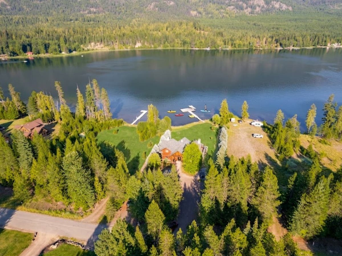
For travelers basing themselves on Bull Lake, the Yaak works well as a full-day trip with a return to a hot shower and a kitchen. Shangrilog, a log cabin on Bull Lake near Troy that sleeps up to 10, is available for those planning a stay in the area and can be reached by phone for dates and availability.
Read the original post here: https://bulllakecabin.com/yaak-valley-montana-travel-guide/
More about the cabin and the surrounding area: https://bulllakecabin.com/