Weather
How Much Rain Will Fall In Nor'easter? Track Storm, Use Hoboken Flood Map Tool With Links
See the link to the Hoboken flood map tool here, and photos. The flash flood watch has been extended until 6 p.m. Tuesday for Hudson County

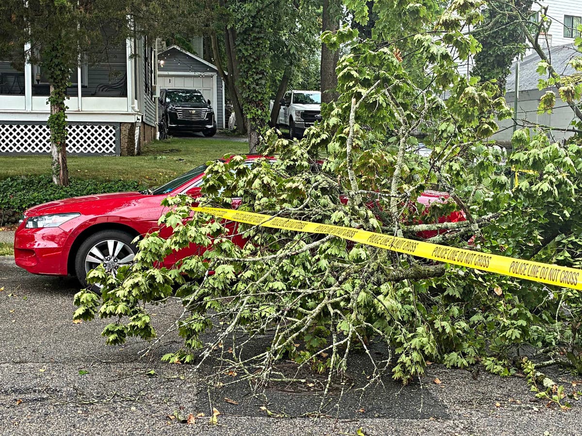
HOBOKEN, NJ — Gov. Phil Murphy has declared a state of emergency in New Jersey in anticipation of 2-4 inches of rain falling during the nor'easter Tuesday. For comparison, 5 inches to 9 inches fell in North Jersey during Tropical Depression Ida.
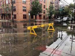
[UPDATE: Several Hoboken Intersections Flooded: See Photos With This Link.]
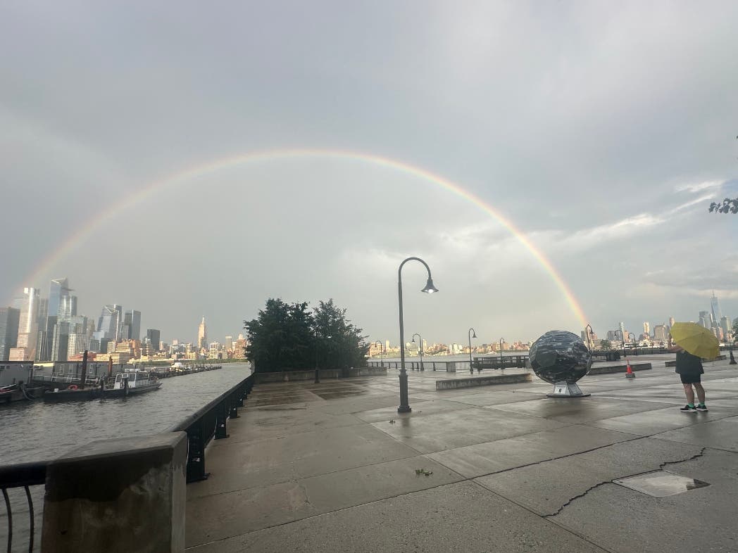
- A Tuesday morning photo of Hoboken from the new flood map tool can be found here and another here. More links to the flood map tool and to local forecasts can be found below.
The National Weather Service has now extended its flash flood watch for Hudson, Essex, Passaic, Union counties through 6 p.m. Tuesday.
Find out what's happening in Hobokenfor free with the latest updates from Patch.
Significant rains are also predicted in the area on Friday night, as of now.
Links To Rainall Maps, Forecast, And Hoboken Flood Tool
Find out what's happening in Hobokenfor free with the latest updates from Patch.
- See Hoboken's tool to report and map flooding here.
- See the latest NWS briefing with rainfall and flood prediction maps
- Check the local radar with this link.
- The forecast for Hoboken and surrounding areas is here.
- Sign up to get free Hoboken breaking news alerts or a daily 6 a.m. newsletter from Patch here.
Did you know? You can get breaking news alerts in Hoboken or a free daily newsletter at 6 a.m. each morning with news in your town. Sign up with your preferences here.
Get more local news delivered straight to your inbox. Sign up for free Patch newsletters and alerts.