Weather
Flood Warning Extended To Sections Of Morris County
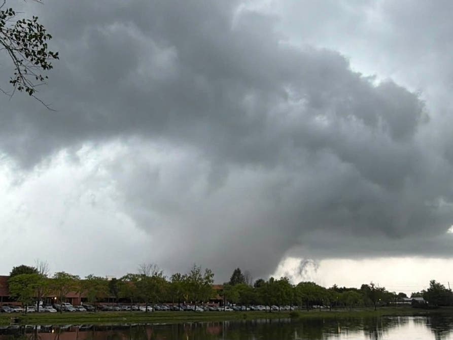
A flash flood warning was extended for Morris County until 4:15 p.m. Monday, the National Weather Service said.

MORRIS COUNTY, NJ — A flash flood warning is in effect for Morris County until 4:15 p.m. Monday, the National Weather Service said.
Radar indicated thunderstorms are producing heavy rain across the area. One to two inches of rain has fallen over Morris County, as of 1:10 p.m.
According to the National Weather Service, some areas that may experience higher levels of flooding include Mendham, Chester and Long Valley, as well as sections of I-287.
Find out what's happening in Morristownfor free with the latest updates from Patch.
The National Weather Service advises residents to monitor later forecasts and be alert for possible flood warnings. Those living in areas prone to flooding should be prepared to take action should flooding develop.
Children should be kept away from storm drains, culverts, creeks and streams. Water levels can quickly rise and sweep children away. Keep an eye on your surroundings and avoid driving on flooded roads, the National Weather Service said.
Find out what's happening in Morristownfor free with the latest updates from Patch.
Here is the full forecast for Monday night and Tuesday morning, according to the NWS:
Monday night:
Showers and thunderstorms likely, mainly before 8 p.m. Some of the storms could produce heavy rainfall. Mostly cloudy, with a low around 68. Southeast wind around 5 mph becoming calm.
Tuesday:
Showers and thunderstorms are possible, mainly after 10 a.m. A high of 85 degrees is forecast. Winds from the west will pick up to 5 to 10 mph in the afternoon. There is a 50 percent chance of precipitation. Except in thunderstorms, new rainfall amounts of less than a tenth of an inch are possible. Thunderstorms are possible, mainly before 7 p.m.
Get more local news delivered straight to your inbox. Sign up for free Patch newsletters and alerts.