Weather
Hazardous Weather Outlook Issued For Bergen County: 'Quick Moving Storm'
The National Weather Service said storms could dump an inch or more of rain Wednesday, possibly swelling streams.


BERGEN COUNTY, NJ — While it isn't expected to be as extreme as the storms that flooded North Jersey towns last Monday, the National Weather Service says that a day of rain on Wednesday could swell waterways in already flooded areas.
A Hazardous Weather Outlook warns Hudson, Bergen, Essex, and Union counties that:
"A quick moving storm system will likely bring 3/4 to 1 1/2 inches, of rain, reasonable worst case of 2 inches, Wednesday into Wednesday night. With streamflows and soil moisture still running high, there is potential for minor flood stages to be reached along a few to several quick responding streams in this area if high end of rainfall forecast is reached."
Find out what's happening in Ridgewood-Glen Rockfor free with the latest updates from Patch.
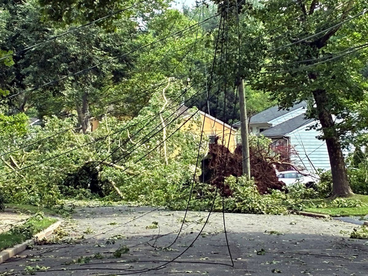
Last Monday, towns like Ridgewood, Mahwah, and Fairfield flooded when local streams rose. Fairfield declared a state of emergency that was only lifted late Friday.
The forecast currently calls for as much as half an inch of rain during the day Wednesday and as much as 1-2 inches of rain at night.
Find out what's happening in Ridgewood-Glen Rockfor free with the latest updates from Patch.
Will it be a false alarm, or will the rains exacerbate the situation left by last week's floods? Click here for NWS updates on the forecast for the area.
PRIOR REPORTING: NWS 'Flood Outlook' Map Says North Jersey Rivers 'Likely' To Flood
Get more local news delivered straight to your inbox. Sign up for free Patch newsletters and alerts.