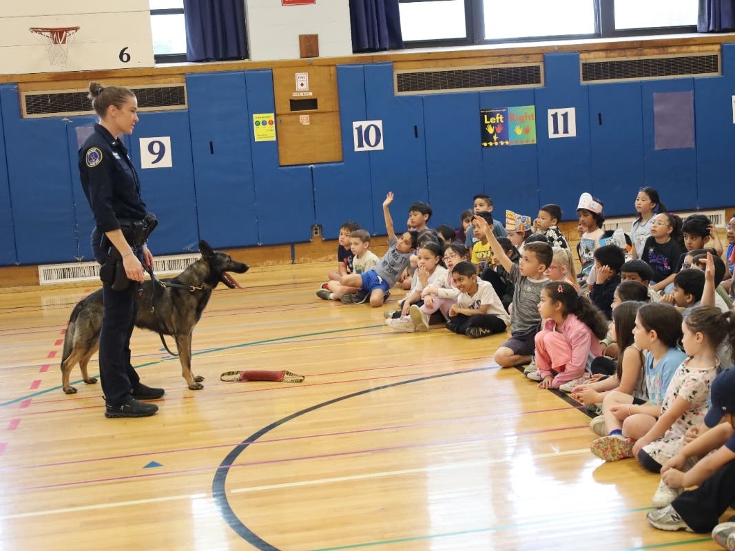
Health & Fitness
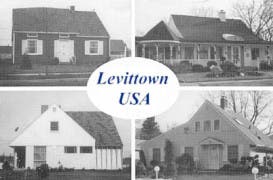
Ancient Place-Names
Local historian Paul Manton explores the ancient names of historic creeks, brooks and meadows in the Levittown area.

Daniel Corkey, in his celebrated Hidden Ireland (1924) noted that merely to contemplate the Emerald Isle's archaic place-names was to summon the deeds of heroes, tribes and great men out of every meadow, valley, creek, and ancient outcropping.
True enough of our own isle this side of the restless Atlantic save that the superimposition of the present is such that it seems like only in surviving woodlands, swamps, and deserted beaches can we conjure them. And yet, while so many ancient features have vanished, their footprints can still be observed in the placement of parks, the course of highways and in the borders of towns.
We were never free to spirit into being a landscape that didn't intimate the contours of the old. Still, we contemplate the ancient, almost forgotten place-names for they remind us of the ephemeral nature of everything we build today. Here are but a few:
Coekas - A brook on the Rockaway Neck forming the border of a parcel of land given to John Hansen in 1682 by Enamant and Mongowack of the Rockaway Indians. Today it's called Mott's Creek and flows through Woodmere near JFK International Airport.
Rattlesnake Hollow - Now the valley between the hills where Cedar Swamp Road (Rte. 107) runs into Glen Cove Avenue in southeastern Glen Cove.
Wuwepex - Name of a creek that empties into the eastern bank of Cold Spring Harbor behind the public library on Shore Road. The name means "drinking place" but might also refer to a Matinecock Indian village at this site in the early 16th Century.
Copwax - Mentioned in a 1684 record as a locale where a creek was joined by a larger stream called Oppeax on Rockaway Neck where the Indians of the Rockaway tribe kept their canoes. The location was probably where Mill River and Powell Creek join just a few hundred yards north of the Oceanside Railroad Station.
Pawpanawist & Raskabus - Two branches of a meandering creek now found on either side of the Wantagh Parkway. One branch, Jones Creek, is the steam that feeds the lake at Mill Pond on Merrick Road.
Ruckatuk - Now Seaman's Neck. The name means approximately "reedy place" and first appeared on a map of an Indian purchase under the auspices of Dutch Gov. Kieft.
Mosquito Cove - Pertains to a swampy or reedy place but specifically to Glen Cove Creek which empties into Hempstead Harbor.
Cantiague - Now the non-descript corner of Cantiague Rock Road and West John Street in Hicksville and derived from an Algonquin etymology of some disputation. It had been the site described in the May 20, 1648 treaty between Robert Williams and Pugnipan of the Matinecock Indians as "a pointe of tres called by the Indians as Ciscascate or Cantiag at a whit oake mariked by mee pugnipan". It defines the westernmost point of the Town of Hempstead/Town of Oyster Bay line and, consequently, the Levittown/Hicksville border.
Sasco's Wigwam - Somewhere near the Rte. 107/25A intersection in Brookville just east of C.W. Post University. This is said to have been the home of Sascannoman or "Sasco", the Matinecock Indian chief involved in a number of land purchases in the Town of Oyster Bay in the 1650's.
Want to learn more about the history of Levittown and the surrounding communities? Visit www.levittownhistoricalsociety.org
Get more local news delivered straight to your inbox. Sign up for free Patch newsletters and alerts.