Weather
On The Water: See Rising Sea Levels' Effect On NY Shorelines
By 2050, seas will be 10 to 12 inches higher and local coastlines will look much different, according to a new report from NOAA.

HUDSON VALLEY, NY — Climate change is real and big changes are coming to our local waterfronts due to rising sea levels, according to a just released report from the National Oceanic and Atmospheric Administration (NOAA).
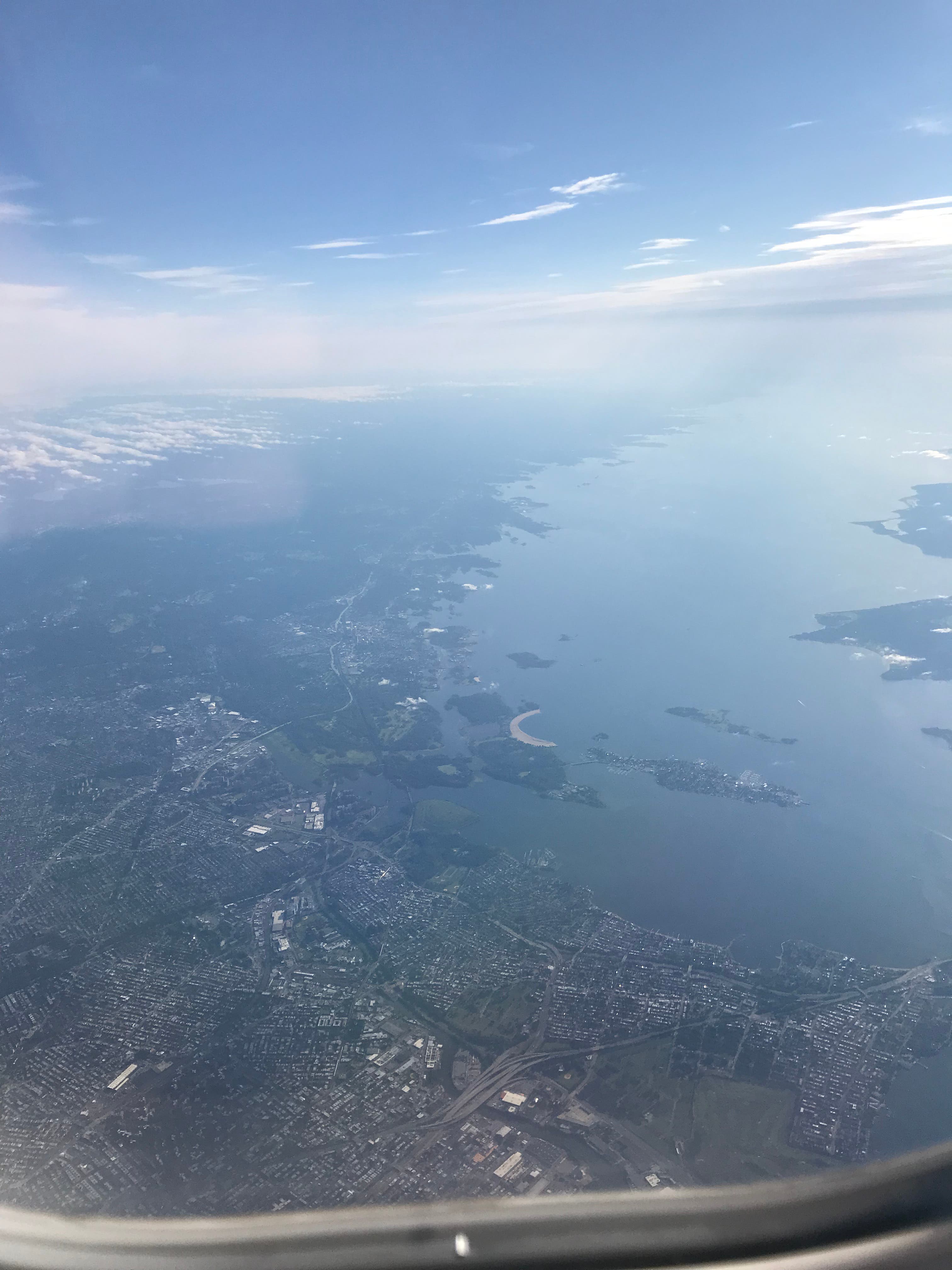
The New York shoreline could see sea levels rise as much as a foot in the next 30 years — as much as they did in the entire 20th century, the new government report warns. NOAA has also released a new interactive map that shows exactly how different our favorite stretch's shoreline might look in just a few decades.
By 2050, seas along the U.S. coast will be 10 to 12 inches higher, according to the 111-page report issued last week by the NOAA and six other federal agencies.
Find out what's happening in New Rochellefor free with the latest updates from Patch.
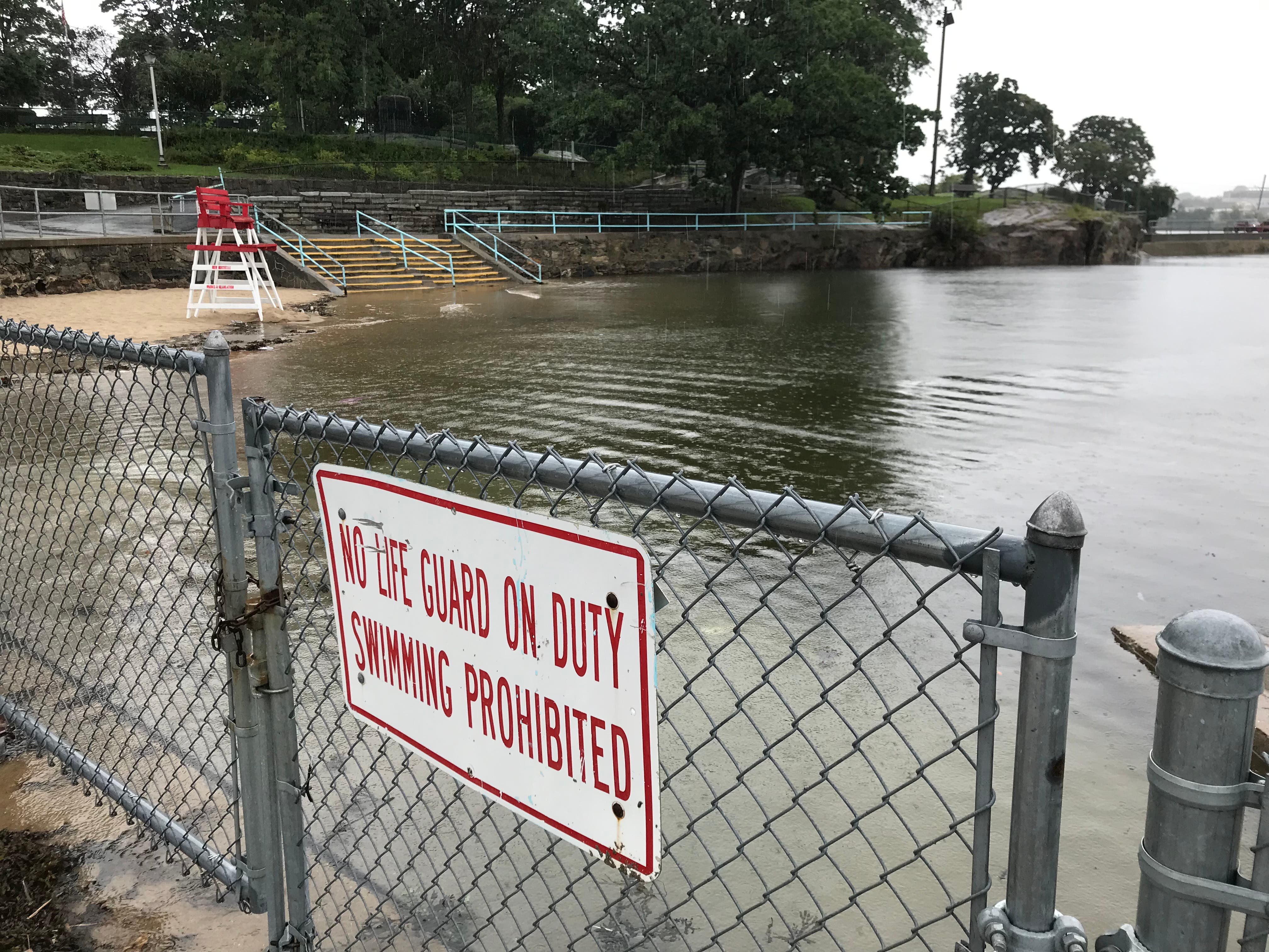
Major East Coast cities will be hit regularly with costly floods, even on sunny days, as sea levels rise. In other parts of the country, states like Louisiana and Texas are projected to see waters a foot and a half higher, the report warns.
"Make no mistake: Sea level rise is upon us," NOAA National Ocean Service Director Nicole LeBoeuf said.
Find out what's happening in New Rochellefor free with the latest updates from Patch.
The projected increase in the NOAA's report is considered especially alarming given that in the 20th century, seas along the Atlantic coast rose at the fastest clip in 2,000 years.
SEE ALSO:
Sea level rise will vary regionally along U.S. coasts because of changes in both land and ocean height. Even locally, some parts of New York will fare better than others. These averages will be exceeded in some locations across the U.S. because of regional and year-to-year variability, the report authored by federal agencies notes.
Sea levels are projected to rise most on the Gulf and East coasts through 2050, while the West Coast and Hawaii will be hit by amounts less than average.
And that’s just until 2050. NOAA's report is projecting an average of about 2 feet of sea level rise in the United States — more in the East, less in the West — by the end of the century.
The report "is the equivalent of NOAA sending a red flag up" about accelerating the rise in sea levels, University of Wisconsin-Madison geoscientist Andrea Dutton, a specialist in sea level rise, told The Associated Press. The coastal flooding New Jersey and other parts of the United States see now "will get taken to a whole new level in just a couple of decades."
"We can see this freight train coming from more than a mile away," Dutton told the AP in an email. "The question is whether we continue to let houses slide into the ocean."
As it stands now, major flooding is expected to occur five times as often in 2050 as it does today, according to the projections released this month.
The Associated Press and Patch's Megan VerHelst contributed to this report.
SEE ALSO:
- On The Water In The Hudson Valley: Execution Rocks Light
- Hudson Valley On The Water: Walkway Over The Hudson
- On The Water: Long Island Sound's Most Peculiar Private Island
- Hudson Valley On The Water: New Boater Safety Regulations
- Hudson Valley On The Water: Superstorm Sandy's Lasting Legacy
- Hudson Valley On The Water: Playland Memories For Sale
- Hudson Valley On The Water: 'Albany Beef' Saved From The Brink
- Hudson Valley On The Water: The Birds Of Huckleberry Island
Get more local news delivered straight to your inbox. Sign up for free Patch newsletters and alerts.