Community Corner
Special Weather Statement in Effect For Long Island
National Weather Service issues statement for the region.

The National Weather Service has issued the following special weather statement for Long Island:
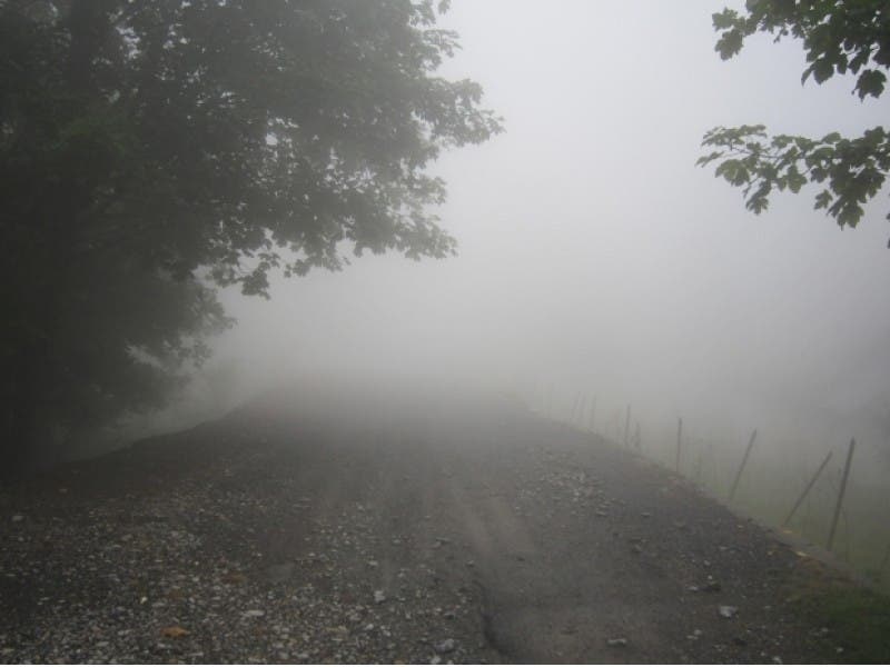
AREAS OF DENSE FOG...WITH VISIBILITIES ONE QUARTER MILE OR LESS AT TIMES...ALONG COASTAL CONNECTICUT AND NASSAU AND SUFFOLK COUNTIES OF NEW YORK WILL GRADUALLY DISSIPATE THIS MORNING. IF DRIVING...SLOW DOWN...USE LOW BEAM HEADLIGHTS...AND LEAVE PLENTY OF DISTANCE AHEAD OF YOU IN CASE A SUDDEN STOP IS NEEDED.
The fog will give way to partly sunny skies Monday and it will feel like summer on the island through Tuesday. Here’s the full forecast:
Find out what's happening in Northportfor free with the latest updates from Patch.
- Today- Partly sunny, with a high near 79. South wind 9 to 14 mph.
- Tonight- Patchy fog after midnight. Otherwise, mostly cloudy, with a low around 63. South wind 5 to 14 mph.
- Tuesday- A chance of showers and thunderstorms, mainly after 3pm. Patchy fog before 9am. Otherwise, mostly cloudy, with a high near 82. Southwest wind 7 to 16 mph. Chance of precipitation is 30%.
- Tuesday Night- A slight chance of showers and thunderstorms before midnight. Partly cloudy, with a low around 54. West wind 11 to 15 mph. Chance of precipitation is 20%.
- Wednesday- Mostly sunny, with a high near 66. Breezy, with a northwest wind 14 to 23 mph, with gusts as high as 34 mph.
More on Patch:
- Police ID Man Critically Hurt in Industrial Accident
- You Can Eat Healthy At The Family Barbecue
- Social Photos: Long Island Bids Farewell to Brian Moore
- Police: Woman Lied About Being Robbed in Target Parking Lot
- Nassau Police: Man in Van Trying to Lure Girls with Candy
- Two Men Shot at Deer Park Strip Club
- Jewelry Brings Joy to Cancer Patients Thanks to Frost Teachers
- Woman Struck, Killed in Hit-and-Run in N. Lindenhurst
- DA: Mother of Student Charged in Teacher Attack
- Police: Drunk Man Arrested After Driving 104 MPH on Sunrise Highway
Find out what's happening in Northportfor free with the latest updates from Patch.
Get more local news delivered straight to your inbox. Sign up for free Patch newsletters and alerts.