Weather
Hudson Valley Snow Advisory: NWS Raises Overnight Estimates
A winter weather advisory goes into effect at 10 p.m. for part of the region, though all of the valley will get snow. Here's the latest.

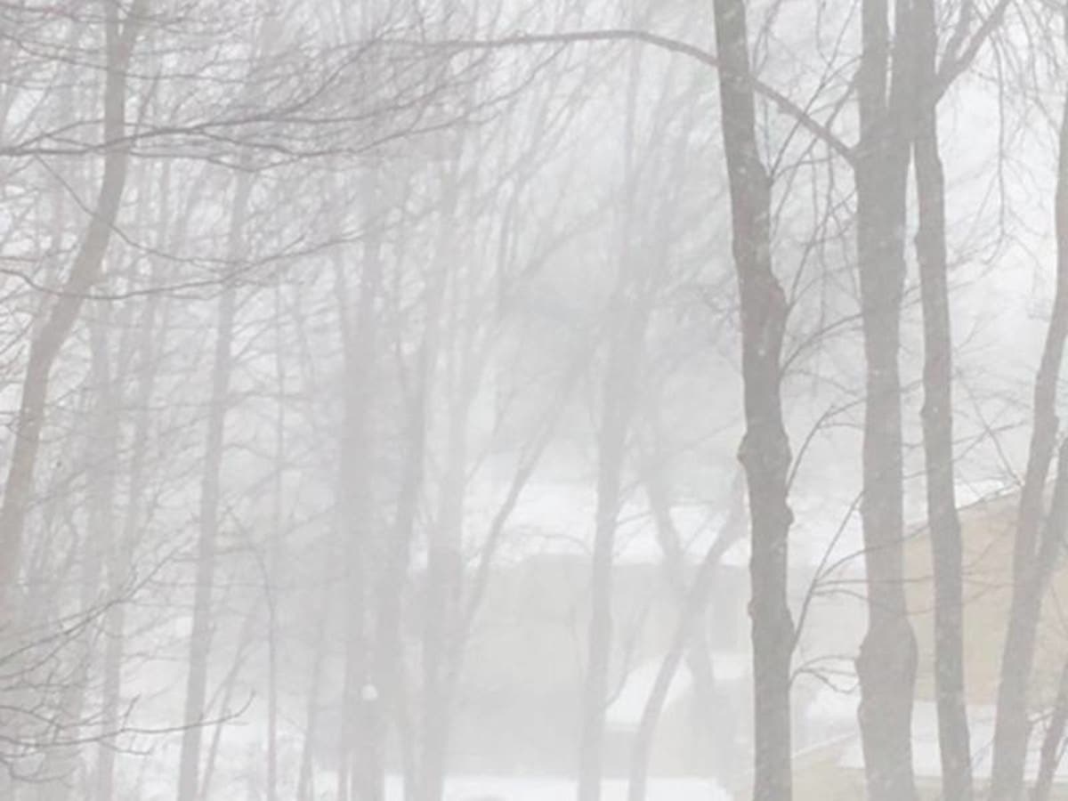
The National Weather Service has revised its snow accumulation estimates upward and issued a winter weather advisory for Orange, Putnam, Rockland and Westchester counties. Dutchess and Ulster are also expecting snow.
It goes into effect at 10 p.m. Friday and extends until noon Saturday.
WHAT...Snow expected. Total snow accumulations of 3 to 5 inches expected.
WHERE...Southern Connecticut, interior southeast New York, and northeastern New Jersey mainly along and north of Interstate 80.
ADDITIONAL DETAILS...Plan on slippery road conditions. A Winter Weather Advisory for snow means periods of snow will cause primarily travel difficulties. Expect snow covered roads and limited visibilities, and use caution while driving.
This estimate is more in line with the one Hudson Valley Weather made Friday morning. HVW is calling for 3-6 inches in the southernmost part of the region.
Find out what's happening in Ossining-Croton-On-Hudsonfor free with the latest updates from Patch.
Dutchess and Ulster counties are also expecting snow. The NWS predicts snow accumulation of 2-4 inches in the mid-Hudson by the time it stops at noon Saturday.
Then we'll look to Sunday afternoon. There is increasing potential for a winter storm to bring a moderate to heavy snowfall to the region Sunday afternoon into Monday morning.
Find out what's happening in Ossining-Croton-On-Hudsonfor free with the latest updates from Patch.
Get more local news delivered straight to your inbox. Sign up for free Patch newsletters and alerts.


