Weather
Winter Weather Advisory Called For Wednesday Morning Snow
The National Weather Service has now called a Winter Weather Advisory across Eastern Pennsylvania, with accumulating snow and ice expected.

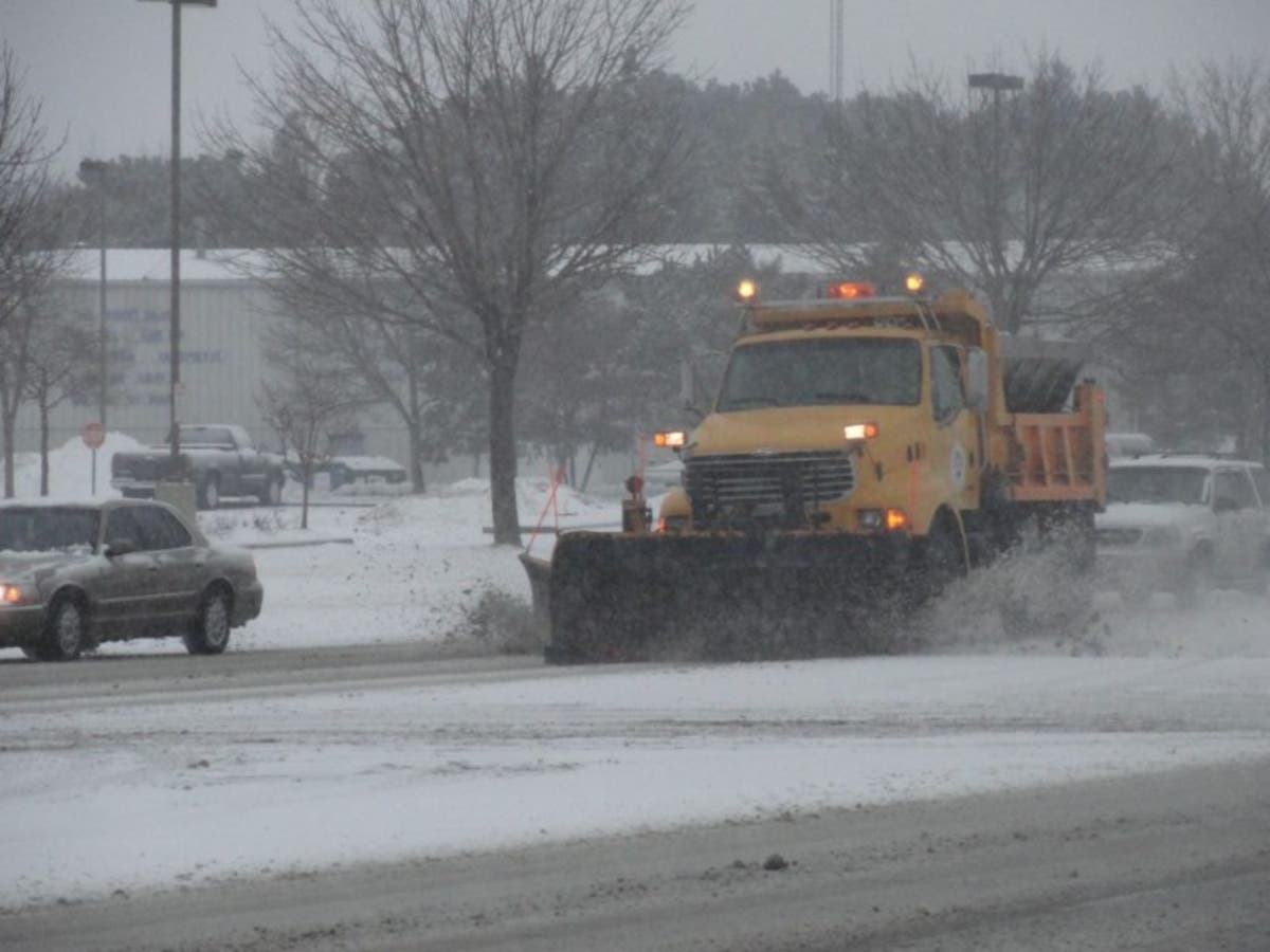
Philadelphia and its suburbs are now under a Winter Weather Advisory for snow and ice headed our way Wednesday morning.
"Plan on slippery road conditions for the morning commute on Wednesday," the National Weather Service said in the Winter Weather Advisory. "Precipitation is expected to begin as snow late tonight before transitioning to a wintry mix of sleet and freezing rain during or just after the morning commute on Wednesday. Precipitation should change to rain from southeast to northwest between 9 and 11 a.m."
Original story:
Find out what's happening in Newtownfor free with the latest updates from Patch.
The National Weather Service has issued a Hazardous Weather Outlook ahead of some winter weather expected Wednesday across the Philadelphia region. The good news is, the ice and snow should clear out in time for the Eagles Super Bowl parade on Thursday.
According to the NWS, precipitation will move into the area early on Wednesday morning and linger throughout the day. A wintry mix of snow and freezing rain is expected early on Wednesday morning. The precipitation should transition to all rain by the afternoon.
Find out what's happening in Newtownfor free with the latest updates from Patch.
"The Wednesday morning commute may be affected by the wintry weather," the NWS warns.
According to forecasters, snow and freezing rain could mix with sleet from about 5 to 11 a.m. on Wednesday. Rain, freezing at times, is predicted until about noon. It should turn to all rain by noon, the NWS predicts. The high temperature will reach the low 40s.
The NWS is all but certain of this weather event, putting the chance of precipitation at 100 percent. New snow and sleet accumulation of an inch is likely.
On Thursday — the day of the Eagles Super Bowl parade — expect mostly sunny skies with a high in the mid-30s.
Click here for more details on the Eagles parade.
Here is the forecast:
Today: Scattered flurries before 1pm. Cloudy, then gradually becoming mostly sunny, with a high near 38. Calm wind becoming west 5 to 7 mph in the afternoon.
Tonight: A chance of snow after 5 a.m. Partly cloudy, with a low around 27. Northwest wind around 5 mph becoming calm in the evening. Chance of precipitation is 30%. Little or no snow accumulation expected.
Wednesday: Snow and freezing rain, possibly mixed with sleet before 11am, then rain, possibly mixed with freezing rain between 11am and noon, then rain after noon. High near 41. East wind around 6 mph becoming southeast in the afternoon. Chance of precipitation is 100%. Little or no ice accumulation expected. New snow and sleet accumulation of less than one inch possible.
Wednesday Night: Rain before 1am, then a chance of freezing rain between 1am and 2am. Low around 26. Southwest wind 7 to 11 mph becoming northwest after midnight. Chance of precipitation is 100%. Little or no ice accumulation expected.
Thursday: Mostly sunny, with a high near 33. Northwest wind around 11 mph, with gusts as high as 21 mph.
Thursday Night: Partly cloudy, with a low around 20.
Friday: Mostly cloudy, with a high near 38.
Friday Night: Mostly cloudy, with a low around 28.
Saturday: A chance of rain after 2pm. Mostly cloudy, with a high near 45. Chance of precipitation is 30%.
Patch photo by Kara Seymour
Get more local news delivered straight to your inbox. Sign up for free Patch newsletters and alerts.