Live on/near the water? Have a home in a low-lying area? Thinking of buying or selling a home subject to flood insurance? Here's the "411" from the Rhode Island Association of Realtors on flood insurance and how it may affect you:
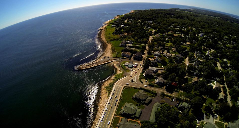
Due to the implementation of the Biggert-Waters Act of 2012, the world of flood insurance has been turned upside down. There will be properties never before required to get flood insurance that will now require it because the flood insurance maps are being redrawn. Additionally, the rates for properties are increasing. Rates are dependent on a number of factors such as the age of structure and what flood zone the property resides. New coastal maps are becoming effective: Newport County coastal maps became effective September 4th, Kent and Providence Counties effective September 18th & Washington County on October 16, 2013.
To find out if a property is a NEW or existing flood zone, go to floodsmart.gov and type in the property address. This will give a quick, but not highly accurate, view of whether and what type of flood risk the property MAY have. In order for it to be a certainty, it will be necessary for a home owner to get a professional licensed surveyor to conduct an elevation study (at a cost of estimated $500 - $800) in order to get an elevation certificate. This will allow the risk to be assessed and an insurer to accurately quote the new flood insurance rates. There is a list of qualified insurers who are familiar with the new policy on the floodsmart.gov website. Presently, most insurers are not able to rate to new maps.
Find out what's happening in Narragansett-South Kingstownfor free with the latest updates from Patch.
Find a Property's Flood Risk | RIEMA - Rhode Island Floodplain Mapping Tool
Here is a synopsis of a highly complicated federal law/regs for housing in a flood zone (either newly classified as there or having been classified
previously):
Find out what's happening in Narragansett-South Kingstownfor free with the latest updates from Patch.
The reauthorization applies to certain structures built prior to the first flood insurance rate map in a community (Pre-FIRM) as well as policies based on the map in effect when the structure was built, otherwise known as grandfathering. For residents who own properties that are located in flood-prone areas, these changes by Congress may cause flood insurance premiums to increase as much as 25% annually. The new law aims to reflect full risk and phase out subsidized rates for certain types of policies
including:
* Renewals of policies receiving subsidized rates and covering a property purchased on or after July 6, 2012, are subject to full-risk rating on the first renewal effective on or after October 1, 2013.
* Standard rated policies will increase an average of 10%. Specific zone increases are as follows:
The law is also calling for a phase-out of discounts and grandfathered rates and a move to risk-based rates when policy holders get re-mapped into a high risk area. This phase-out will take place in 20-percent increments annually over the course of five years and is expected to begin in 2014.
WHAT HAPPENS IF A PROPERTY NEEDS FLOOD INSURANCE AND FAILS TO PURCHASE IT?
The property would be in violation of the mortgage covenants and the lender has the right to foreclose.
HOW COULD THIS HAPPEN? This program has lost $19 billion dollars and the only way to even have federal flood insurance was to make those who have the risk pay for it.