Community Corner
National Weather Service: What to Expect Sunday in Northern Virginia
Although the forecast is a bit tricky, here's what a weather service meteorologist is predicting for our area Sunday into Monday.

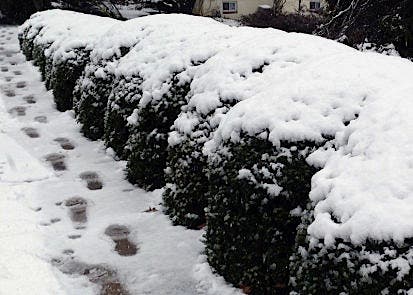
Northern Virginia will likely see 1-4 inches of snow Sunday night into Monday morning, according to a forecaster with the National Weather Service.
While Northern Virginia (other than western Loudoun County and other western counties) on Saturday afternoon was not under any official weather advisories, watches or warnings, NWS meteorologist Andrew Snyder said the snow is on the way.
“It might take a little bit longer for the snow to get started in Fairfax County, with some rain mixing in at first and then changing over to snow tomorrow [Sunday] night with snow lingering into Monday morning,” Snyder said Saturday afternoon.
Find out what's happening in McLeanfor free with the latest updates from Patch.
Expect the changeover to snow to begin after midnight Sunday with a few inches possible, mostly in the western areas of Northern Virginia, he said. A few inches of snow are possible, with anywhere from 4 inches or more in far western Loudoun County to anywhere from 1 to 4 inches in other parts of Northern Virginia, he said.
“The current forecast has decreasing amounts from northwest to southeast,” he said. Central Northern Virginia and areas farther east such as Arlington and Alexandria could see snow accumulations of 2 to 4 inches, he said.
Find out what's happening in McLeanfor free with the latest updates from Patch.
The Monday morning commute could be tricky, due to temperatures being below freezing at that time and freezing precipitation on untreated roadways; highs on Monday are expected to reach about 34 to 35 degrees, Snyder noted.
The low pressure system likely bringing snow to Northern Virginia late Sunday night/Monday morning is originating in central Canada, diving across the Midwest, across the Ohio Valley and then winding its way up the East Coast, Snyder noted. The “clipper” is expected to mix with another system forming east of Delmarva that is tracking parallel.
The combination will likely bring larger snow accumulations to areas north of the DC metro area and farther north in New England, Snyder said.
The Capital Weather Gang predicts possible blizzard conditions to hit somewhere between New Jersey and New England. Some models show those areas getting 10 to 20 inches of snow Monday and Tuesday, the Capital Weather Gang reported.
Get more local news delivered straight to your inbox. Sign up for free Patch newsletters and alerts.