Community Corner
Sunday Weather Outlook: What to Expect
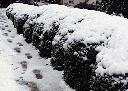
The Northern Virginia area is under a High Wind Warning and a Wind Chill Advisory from the NWS.

Here’s what to expect with the weather Sunday across Northern Virginia, according to the National Weather Service:
- The area is under a High Wind Warning until 2 p.m. Sunday. Winds are 30 to 40 MPH with some gusts up to 60 MPH. Downed trees and power lines may result in power outages. (Check the Dominion Power outage map for up-to-the-minute information on outages, including estimated power restoration time.) Driving “high profile” vehicles will be dangerous, the weather service warns.
- The area is under a Wind Chill Advisory until 6 p.m. Sunday. Wind chills are 5 to 18 degrees below zero. Sunday will see highs in the teens. Wind chill temperatures can cause hypothermia and frost bite. If you venture outdoors, be sure to wear a hat and gloves, the weather service advises.
- Check out road conditions here on VDOT.
The Presidents’ Day holiday forecast for Monday:
A slight chance of snow after 3 pm. Increasing clouds, with a high near 22. Wind chill values as low as -9. Northwest wind 5 to 9 mph becoming southwest in the afternoon. Chance of precipitation is 20 percent.
Find out what's happening in McLeanfor free with the latest updates from Patch.
Get more local news delivered straight to your inbox. Sign up for free Patch newsletters and alerts.