Community Corner
Projected Snow Totals for Bethany, Woodbridge Now in for Saturday Storm
The National Weather Service has a forecast a bit more specific as we get closer to Saturday's storm in Woodbridge and Bethany.


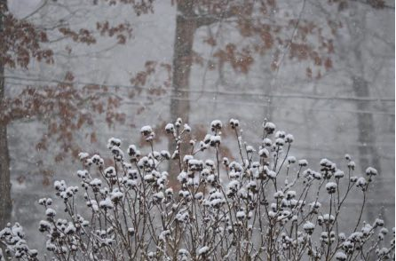
The National Weather Service says 3 to 5 inches of snow may fall on Woodbridge and Bethany on Saturday, with an undetermined amount falling earlier (between 3 a.m. and dawn).
It may be heavy and wet, so it could cause “scattered power outages,” the weather service warns.
Here’s the daytime Saturday prediction from the weather service, specifically for Woodbridge (as of 2:53 p.m. Thursday; Bethany’s forecast is essentially identical, but slightly less windy):
Find out what's happening in Bethwoodfor free with the latest updates from Patch.
“Snow before 3 p.m., then a chance of rain and snow. High near 33. Wind chill values between 20 and 25. Calm wind becoming north 5 to 10 mph in the morning. Chance of precipitation is 80 percent. New snow accumulation of 3 to 5 inches possible.”
The weather service has issued a “Winter Storm Watch” for the northern parts of New Haven, New London and Middlesex counties, which states in part (according to the 3:27 p.m. version):
Find out what's happening in Bethwoodfor free with the latest updates from Patch.
“Visibilities: 1/2 mile or less at times Saturday morning and into [the] afternoon. Timing: Snow begins early Saturday morning. The heaviest snow, likely mixed with sleet and freezing rain, will be Saturday morning through afternoon. Snow tapers off in the evening.
“Impacts: Difficult travel [is] possible due to reduced visibilities and significant snow accumulations. The heavy, wet snow could bring down some large branches and cause scattered power outages.”
Get more local news delivered straight to your inbox. Sign up for free Patch newsletters and alerts.