Weather
Farmers' Almanac Releases Winter 2018 Forecast For Virginia, DC
The Farmers' Almanac has released its long-range weather predictions for the upcoming winter in Virginia and Washington, DC.

The Farmers’ Almanac has released its long-range prediction for winter 2018. The news won't be good for Virginia, Washington, DC and other Mid-Atlantic states, unless you like to go sledding or love to bundle up in wool socks and layers. The publication predicts this winter will be a bit more “normal” as far as the temperatures are concerned, but that isn't necessarily a good thing.
The iconic publication that's been serving up weather predictions since 1818 says that based on its formula many areas will see "above-normal" precipitation. It means that for Virginia and the District, the publication predicts the region will experience a "wintry chill, wet and white" this winter. The forecast is similar for nearby Maryland which has a "cold and snowy" winter to look forward to, according to the Almanac.
(SIGN UP: Subscribe to a Virginia Patch News Alert and Newsletter. For DC readers, Get Patch’s daily newsletter and news alerts. Or like us on Facebook. Or, if you have an iPhone, download the free Patch app.)
Find out what's happening in Washington DCfor free with the latest updates from Patch.

How much snow can we expect in Virginia, which the publication includes in its Southeast states roundup?
A good amount, the Farmers’ Almanac says.
Find out what's happening in Washington DCfor free with the latest updates from Patch.
Break out the space heaters, umbrellas, and warm socks, because the Southeast will see below normal winter temperatures with an unseasonable chill reaching as far south as the Gulf Coast, with above-average precipitation.
SEE ALSO: Fall Forecast 2017: Will Summer Warmth Linger In DC, Virginia?
The Farmers' Almanac also is "red-flagging the 2018 dates of January 20-23, February 4-7 & 16-19, and March 1-3 & 20-23 along the Atlantic Seaboard for some heavy precipitation."
Good news for skiers and snow enthusiasts, but for those looking to build sandcastles, not-so-good news, but a good time to book that tropical getaway.
According to the experts at the National Weather Service, temperatures across the Northeast and Mid-Atlantic regions will be above average for the three-month period through November. The weather service hasn't yet issued its predictions for winter.
Here is the forecast for the next three months:
AUGUST 2017
- 12th-15th: Hit-or-miss locally strong thunderstorms.
- 16th-19th: Locally heavy rain is concentrated over Maryland and Delaware. Meanwhile, Pennsylvania, most of New Jersey, New York, and New England enjoy a pleasant spell of weather.
- 20th-23rd. Lingering rain clouds might eclipse the solar eclipse on the 21st. Wet, then fair skies return.
- 24th-27th: Fair skies.
- 28th-31st: Thunderstorms, some heavy, followed by fair weather.
SEPTEMBER 2017
- 1st-3rd: Wet weather for New England; only scattered showers and thunderstorms for the southern states of this region.
- 4th-7th: Fair and pleasant.
- 8th-11th: Thunderstorms sweep in from the West followed by clearing skies.
- 12th-15th: Mostly cloudy with scattered showers.
- 16th-19th: Rain, then turning fair and cooler.
- 20th-23rd: Fair skies.
- 24th-27th: Thunderstorms followed by clearing and cooler conditions.
- 28th-30th: Hurricane or tropical storm threat for the Atlantic Seaboard.
OCTOBER 2017
- 1st-3rd: Mostly fair.
- 4th-7th: Fair/windy.
- 8th-11th: Strong disturbance sweeps off the Atlantic Coast bringing heavy rain with gale-force winds along New England Coast.
Click here to read the full long-range forecast by the Farmers’ Almanac.
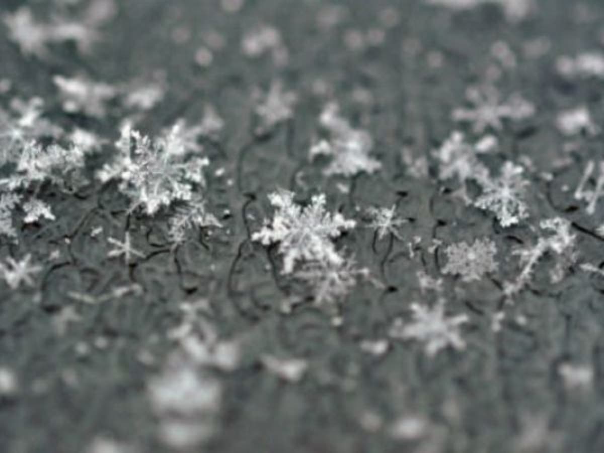
PHOTO: Patch file photo
Get more local news delivered straight to your inbox. Sign up for free Patch newsletters and alerts.