Community Corner
Travel Back in Time: Main Street Trolleys
Travel Back in Time with the Wednesday Patch Passport, to discover the history and roots of Melrose.


Take a look at the photo above. Notice something about downtown Main Street in Melrose? There were trolley tracks.
Like several communities near Boston in the late 19th century into the 20th century, Melrose had track-guided street cars. Let's go back a little further, first.
Melrose was originally part of the town of Charlestown, which was much larger back when it was first settled in 1629—the town extended all the way up to include Woburn and Burlington.
Find out what's happening in Melrosefor free with the latest updates from Patch.
At that time, the marshy, wet area we now know as Melrose was called "Pondfeilde," a name that can still be seen on the city's seal (and on the scoreboard, when the Melrose Pondfeilders Base Ball Club plays).
Over the course of a century, the territory was split up into smaller towns and by 1725, "North Charlestown" had been split into Malden and Reading. Melrose was then known as the "North End" and later "North Malden"—a sparsley settled area, according to The History of Melrose, County of Middlesex, Massachusetts by Elbridge Henry Goss, which was published by the City of Melrose in 1902.
Find out what's happening in Melrosefor free with the latest updates from Patch.
By the completion of the Boston and Maine Railroad in the mid-19th century, Goss wrote, "The church, business, town and social relations were so separated from the centre and main town of Malden, that the citizens began to agitate a separation from the mother town, and the setting up of a municipality by itself."
Melrose was incorporated as a town on May 3, 1850. According to Goss, it then had 1,260 residents and an assessed valuation of $483,446. According to the 2010 U.S. Census, Melrose now has 26,983 residents and, according to the state Department of Revenue, a total assessed valuation of $3.5 billion.
With the Boston and Maine Railroad line—now the MBTA's Haverhill commuter rail line—running through the city, Melrose began to expand. Late in the 19th century, the trolley system expanded as the roads were electrically equipped for trolleys to run from Melrose to Woburn in 1892 and from Melrose to Chelsea by end of 1894, according to Goss. Also, double track was laid from Mount Vernon Street in Melrose to Malden line, connecting with the double line through Malden.
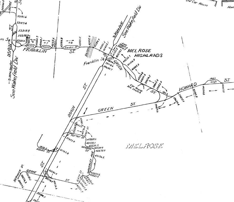
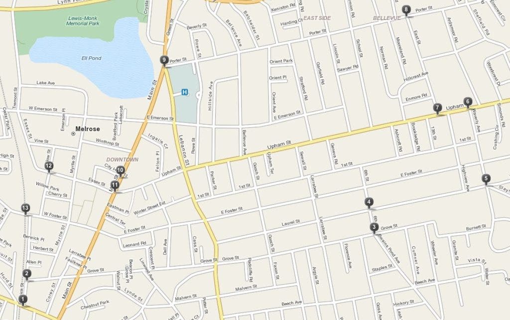
Then in 1896, the Lynn and Boston Railway Company built a loop-road known as the East Side line, with a trolley running from the Wyoming Depot through Berwick Street; up Grove Street to the top of Melrose Common; over to Porter Street; back down to Main Street; and then to City Hall, Essex Street and Melrose's center station, Goss wrote. (See attached photo and click here for a map.)
In 1902, according to Goss, there were 1.496 miles of double track electric car lines in Melrose and 5.8914 miles of single track electric car lines. Trolley lines continued to expand (see attached PDF)—some on tracks, others trackless, the latter of which solely morphed into bus routes as the trolleys faded out during the 20th century, seen only again during .
Get more local news delivered straight to your inbox. Sign up for free Patch newsletters and alerts.