Politics & Government
Moorestown First Responders Use Advance Systems In Emergencies
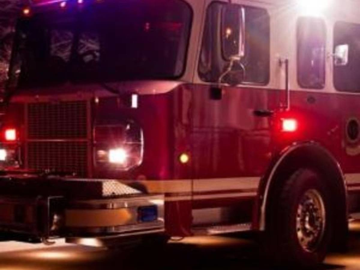
The first responders in Moorestown and around the county use advanced GPS systems when responding to emergencies.

MOORESTOWN, NJ — “If I’m having a heart attack, how will the EMT driver know where I live?” resident Edwin Begg asked Moorestown Council Monday night. “If I see a strange person in my backyard, how will the cop know where I am? If I have a fire in my kitchen, how will the fire department know where I am?”
Begg asked council members this question during a public hearing on a proposed bond ordinance for the purchase of police equipment. That proposal called for the appropriation of $190,000, including the borrowing of $180,500 in bonds or notes for the purchase of four police Sports Utility Vehicles (SUV) and a new breathalyzer.
Begg didn’t oppose the proposal, which was unanimously passed by council with a 5-0 vote. However, he wanted to make sure the township’s first responders were appropriately equipped for all emergency situations.
Find out what's happening in Moorestownfor free with the latest updates from Patch.
The question arose after Begg had to use a rideshare service last month while his car was being worked on. During the drive to his house, the driver stopped to pick up someone else. During the trip to that person’s house, the GPS malfunctioned. Everything turned out OK in the end, but it lead Begg to question how Moorestown first responders get around town in emergencies.
According to Moorestown Police Chief Lee Lieber, the police department uses a computer aided dispatch from Burlington County Central Communications in Westampton. Local police officers double check all the cross streets before loading them into the system.
Find out what's happening in Moorestownfor free with the latest updates from Patch.
When an emergency call comes in, they are guided to the closest cross streets, and given a full overview of the area. “It could be more accurate than GPS,” Lieber said, adding that sometimes GPS is wrong.
The system is Tyler Technologies New World Computer Aided Dispatch(CAD). CAD pinpoints exactly where an emergency call originates, and dispatchers can respond to text messages sent to 911. According to its website, the system decreases response times by using automatic address verification, real-time GPS unit locations, dynamic unit recommendations, and rip and run reports. It also provides first responders with information such as preplans, hazards, and wants and warrants to dispatchers and field personnel.
The locations are programmed by local police officers who are out patrolling the streets regularly. Lieber said the fire department and EMS use variations of the same system. Each system is adapted for the first responders using it, based on their needs.
The fire departments use I Am Responding, according to Lenola Volunteer Fire Capt. Jamie Boren. The system not only tells firefighters where to go, but also gives them information such as where the nearest fire hydrants are and where their trucks can be staged.
The county is also undertaking a massive upgrade project to comply with FCC regulations. The main dispatch center recently moved back to Westampton as part of the$40 million project, according to the Burlington County Times. By 2020, the hope is that existing communications towers will be upgraded, three new towers will be built in the county, and police, fire, EMS and emergency responders will all get new handheld and vehicle radios.
In the only other proposed ordinance that was up for a final vote Monday night, council unanimously approved the granting of an easement of 2,254 square feet at 510 Hartford Road to the county. This was required as part of the permitting process for the Hartford Road Water Treatment Plant upgrade project.
Image via Shutterstock
Get more local news delivered straight to your inbox. Sign up for free Patch newsletters and alerts.