Weather
Flooding, Thunderstorms As Henri Rotates Slowly Over The HV
Some rivers are at flood stage as the remnants of the once-hurricane won't leave the region until this evening.


HUDSON VALLEY, NY — As what's left of tropical storm Henri rotates slowly over the Hudson Valley, having moved west after landfall in Rhode Island, flooding remains a real problem, forecasters said.
A flood advisory was issued for Dutchess and Ulster counties at 7:15 a.m. due to bands of showers bringing up to 1 inch of rain rapidly. Additional rainfall amounts up to 1 inch are expected over the area before 10:15 a.m. Also, a flood watch is in effect until 8 p.m. there.
A flood watch has been extended until 2 a.m. for Orange, Putnam, Rockland and Westchester counties.
Find out what's happening in Ossining-Croton-On-Hudsonfor free with the latest updates from Patch.
Minor to moderate mainstem river flooding is occurring across the lower Hudson Valley, northeast New Jersey and NYC. The Bronx River is in minor flood stage Monday morning and the Ramapo River at Mahwah is forecast for Minor Flood Stage this afternoon.
There is also a risk of strong thunderstorms Monday, the National Weather Service said.
Find out what's happening in Ossining-Croton-On-Hudsonfor free with the latest updates from Patch.
Additional rainfall amounts of 1 to 3 inches, with localized amounts up to 4 inches, may fall Monday over regions that have already seen several inches of rain in the last 24 hours, leading to added flooding. There is a moderate risk of excessive rainfall.
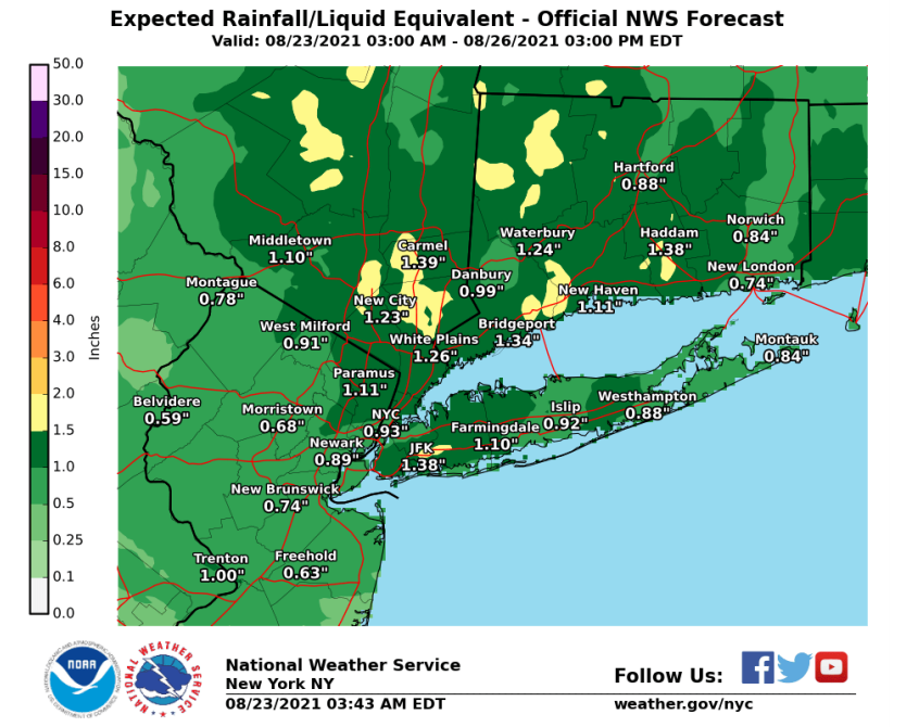
So far, the highest local rainfall total reported to the National Weather Service was 7.84 inches in Passaic County, New Jersey.
What with the storm surge and the heavy rain, residents of low-lying portions of Mamaroneck were urged to leave their homes Sunday night. Parkways in Westchester County were partially closed due to flooding.
- .
- Henri Causing Road Closures In Westchester: UPDATE
- Henri Still Causing Flooding Problems In Westchester
Flooding happened in some of the usual places.
Power outages were minor throughout the Hudson Valley, with Central Hudson reporting more than 900 customers out at 10 a.m., O&R reporting more than 300 out, NYSEG reporting more than 200 in Dutchess, Ulster, Putnam and Westchester, and Con Ed reporting 106 in Westchester.
The damage was negligible compared to Tropical Storm Isaias in August of 2020, when much of the region lost power for days. SEE: Isaias: Nearly 200K Without Electricity In Hudson Valley
Still, roads were flooded and police responded to numerous accidents.
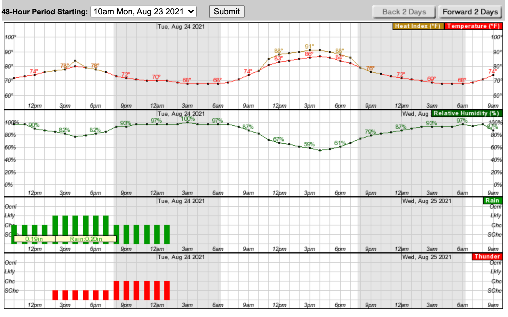
Once the storm is over, heat and humidity will build through Thursday, until a cold front brings relief at the end of the week.
Get more local news delivered straight to your inbox. Sign up for free Patch newsletters and alerts.


