Home & Garden
Thunderstorms Expected to Hit NYC Mid-Week
New York City will catch the edge of an East Coast rager.

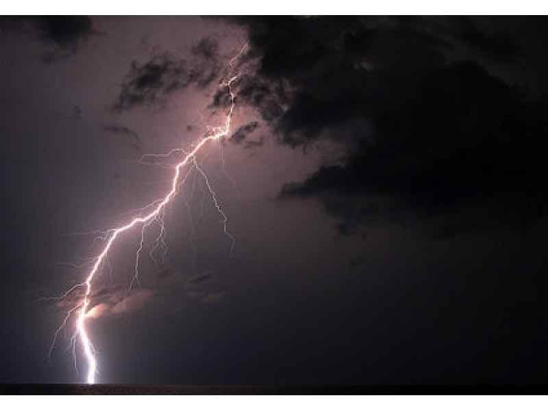
The National Weather Service is warning of severe thunderstorms and flash flooding across the East Coast this week.
New York City won’t get the worst of it — but the NWS predicts we will get some scattered thunderstorms and possible downpours today (Tuesday) and tomorrow (Wednesday).
Says Accuweather Senior Meteorologist Dave Dombek: “While the risk of severe weather is low through Wednesday, with a concentrated area of damaging storms headed for the Southeast states, there is still the potential for locally drenching downpours, a few lightning strikes and localized gusty winds.”
Find out what's happening in Park Slopefor free with the latest updates from Patch.
Here’s the full forecast, via NWS.
- Tuesday: Scattered showers and thunderstorms. Mostly cloudy, with a high near 83. South wind 8 to 11 mph. Chance of precipitation is 50%
- Tuesday night: A chance of showers and thunderstorms, then showers likely and possibly a thunderstorm after 1am. Mostly cloudy, with a low around 73. South wind 8 to 10 mph. Chance of precipitation is 60%. New rainfall amounts between a quarter and half of an inch possible.
- Wednesday: Showers likely and possibly a thunderstorm. Mostly cloudy, with a high near 83. West wind 5 to 10 mph. Chance of precipitation is 60%. New rainfall amounts between a half and three quarters of an inch possible.
- Wednesday night: A chance of showers and thunderstorms between 10pm and 2am, then a slight chance of showers. Mostly cloudy, with a low around 65. North wind 10 to 15 mph. Chance of precipitation is 30%.
The sun should be back by Thursday, if all goes according to forecast.
Find out what's happening in Park Slopefor free with the latest updates from Patch.
Get more local news delivered straight to your inbox. Sign up for free Patch newsletters and alerts.