Community Corner
Long Island Snow Totals
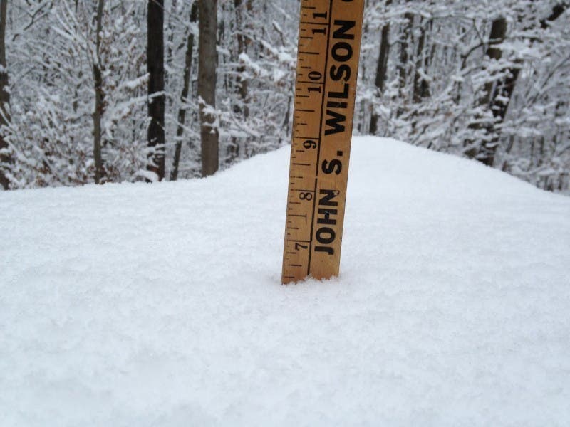
The National Weather Service has released unofficial snowfall totals for many Long Island towns.

The snow is already melting rapidly, but the National Weather Service has released unofficial snowfall totals for many Long Island towns.
The snow totals were on the low end of what was forecasted (especially on the East End) as the heavier bands of snow remained mostly offshore overnight. Numerous school districts in eastern Suffolk opened on a delay Monday morning, but roads were in pretty good shape and no serious accidents have been reported.
The rest of Monday on Long Island will be sunny with high temperatures in the mid-40s. Mostly sunny skies with a high near 47 is on tap for Tuesday. Wednesday will really feel like spring with partly sunny skies and highs in the low-60s.
Note that the NWS does not report snow totals for all towns and these measurements may have been taken several hours apart.
SUFFOLK
- Southampton- 3.5 inches, 8:40 a.m.
- Port Jefferson- 3.5 inches, 8:45 a.m.
- Smithtown- 3.3 inches, 6:30 a.m.
- Islip- 3 inches, 6 a.m.
- Centereach- 3 inches, 7:09 a.m.
- Sayville- 2.9 inches, 7 a.m.
- Centerport- 2.8 inches, 6:30 a.m.
- Dix Hills- 2.8 inches, 7:01 a.m.
- Long Island MacArthur Airport- 2.5 inches, 8 a.m.
- Coram- 2.5 inches, 6:15 a.m.
- Patchogue- 2.5 inches, 9:15 a.m.
- Baiting Hollow- 2.3 inches, 8 a.m.
- Upton- 1.7 inches, 8 a.m.
- Jamesport, 1.6 inches, 6 a.m.
- Manorville- 1.5 inches, 4 a.m.
NASSAU
- Woodbury- 3.2 inches, 7:06 a.m.
- Levittown- 2.8 inches, 4 a.m.
- Rockville Centre- 2.6 inches, 6:57 a.m.
- Merrick- 2.5 inches, 6:45 a.m.
- North Bellmore- 2.1 inches, 6:59 a.m.
- Farmingdale- 2 inches, 7:02 a.m.
- New Hyde Park- 0.8 inches, 9 a.m.
Get more local news delivered straight to your inbox. Sign up for free Patch newsletters and alerts.