Weather
3rd Nor'easter Moves Out Of Philly Area With Little Impact
The National Weather Service reports little accumulation materialized from this third nor'easter storm, which is now moving out of the area.

The National Weather Service reports little accumulation materialized from this third nor'easter storm, which is now moving out of the area. Any remaining snow showers should cease by 11 a.m.
Once the flurries stop, expect cloudy skies and temperatures in the low 40s.
A Hazardous Weather Outlook is still in place through Wednesday because fast-moving snow squalls are possible and could deliver a quick inch of snow, the NWS said. Keep an eye out for slippery and hazardous travel conditions and reduced visibility.
Find out what's happening in Newtownfor free with the latest updates from Patch.
In Eastern Pennsylvania, there was little accumulation in the Philadelphia suburbs from this most recent storm. Parts of the Poconos reported three inches. See the snow totals here.
The storm is expected to continue on to New England, where is is likely to deliver significant snowfall. As a result, dozens of flights between Philadelphia International Airport and areas in New England have been canceled. If you're flying today, check with your carrier before heading out. Amtrak trains between New York City and Boston are also canceled.
Find out what's happening in Newtownfor free with the latest updates from Patch.
Here is the forecast for the rest of the week:
Today: Snow before noon, then a slight chance of rain showers between noon and 1pm. High near 42. Northwest wind 14 to 17 mph, with gusts as high as 29 mph. Chance of precipitation is 90%. Total daytime snow accumulation of less than a half inch possible.
Tonight: Partly cloudy, with a low around 28. West wind around 9 mph.
Wednesday: Scattered rain and snow showers after 2pm. Partly sunny, with a high near 43. Breezy, with a west wind 11 to 20 mph, with gusts as high as 34 mph. Chance of precipitation is 40%. Little or no snow accumulation expected.
Wednesday Night: Scattered rain and snow showers before 8pm. Mostly cloudy, with a low around 28. West wind 15 to 17 mph, with gusts as high as 31 mph. Chance of precipitation is 30%. Little or no snow accumulation expected.
Thursday: Isolated showers after 2pm. Partly sunny, with a high near 46. West wind 11 to 15 mph. Chance of precipitation is 20%.
Thursday Night: Partly cloudy, with a low around 28.
Friday: Mostly sunny, with a high near 39.
Friday Night: Partly cloudy, with a low around 24.
Saturday: Sunny, with a high near 43.
Saturday Night: Partly cloudy, with a low around 28.
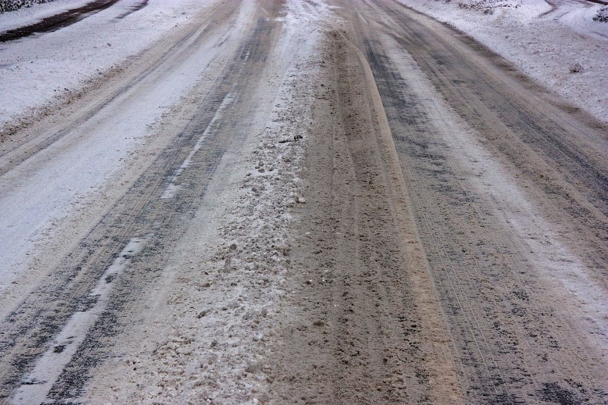
Image via Shutterstock
Get more local news delivered straight to your inbox. Sign up for free Patch newsletters and alerts.