Weather
Up To 5 Inches Of Rain Possible, Flood Watch In Eastern PA
It may seem like there should be no rain left in the sky but, alas, there is plenty more. Possibly even 5 inches in the next 24 hours.

It may seem like there should be no more rain left in the sky but alas, there is plenty more to come. Possibly even five inches in the next 24 hours.
The National Weather Service has issued a Flood Watch across Eastern Pennsylvania through Saturday evening.
According to the NWS, "widespread" showers are expected Friday and Saturday. Additional rainfall amounts of one to four inches are expected over the next 72 hours. Locally higher amounts over five inches are possible in slow-moving thunderstorms, the NWS said.
Find out what's happening in Newtownfor free with the latest updates from Patch.
Low-lying areas and areas with poor drainage are particularly at risk of flooding. Flash flooding will also be possible if thunderstorms repeatedly move over the same locations, especially in urban areas and places where small creeks and streams respond quickly.
The latest round of rain has bad timing. Since it has been rainy for days, the added precipitation could cause excessive runoff, eventually leading to a flooding risk in larger streams and rivers.
Find out what's happening in Newtownfor free with the latest updates from Patch.
However, the extent of river flooding will depend on where the heaviest rain falls, the NWS said.
Some of the downpours in the Northeastern states in general will be accompanied by some thunder and lightning, AccuWeather predicts.
Anyone with outdoor plans this weekend should continue to monitor the forecast.
Here is the forecast:
Today: Showers likely, mainly after 5pm. Cloudy, with a high near 66. East wind 13 to 15 mph, with gusts as high as 26 mph. Chance of precipitation is 60%. New precipitation amounts between a tenth and quarter of an inch possible.
Tonight: Showers. The rain could be heavy at times. Patchy fog. Low around 54. East wind 11 to 16 mph. Chance of precipitation is 90%. New precipitation amounts between a half and three quarters of an inch possible.
Saturday: Showers and possibly a thunderstorm. Some of the storms could produce heavy rain. High near 67. East wind around 10 mph. Chance of precipitation is 90%. New rainfall amounts between a quarter and half of an inch possible.
Saturday Night: A chance of showers and thunderstorms, then showers likely and possibly a thunderstorm after 2am. Cloudy, with a low around 63. Southwest wind around 8 mph. Chance of precipitation is 60%. New rainfall amounts between a tenth and quarter of an inch, except higher amounts possible in thunderstorms.
Sunday: Showers likely and possibly a thunderstorm before 8am, then a chance of showers and thunderstorms after 8am. Mostly cloudy, with a high near 81. West wind around 9 mph. Chance of precipitation is 60%. New rainfall amounts between a tenth and quarter of an inch, except higher amounts possible in thunderstorms.
Sunday Night: A slight chance of showers. Areas of fog after 2am. Otherwise, mostly cloudy, with a low around 63. Chance of precipitation is 20%.
Monday: A chance of showers and thunderstorms after 2pm. Areas of fog before 8am. Otherwise, partly sunny, with a high near 81. Chance of precipitation is 30%.
Monday Night: A chance of showers and thunderstorms. Mostly cloudy, with a low around 61. Chance of precipitation is 50%.
Tuesday: A chance of showers. Partly sunny, with a high near 76. Chance of precipitation is 40%.
Tuesday Night: A chance of showers. Mostly cloudy, with a low around 58. Chance of precipitation is 40%.
Wednesday: Partly sunny, with a high near 76.
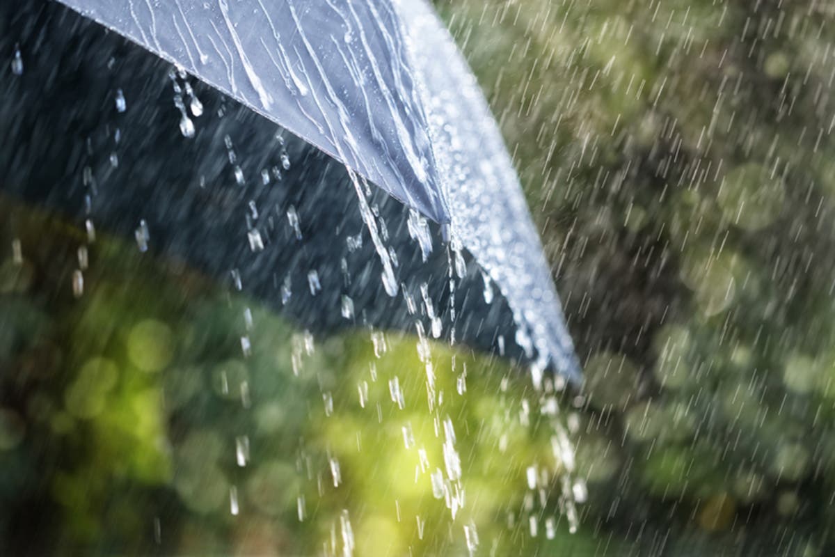
Image via Shutterstock
Get more local news delivered straight to your inbox. Sign up for free Patch newsletters and alerts.