Weather
'Miserable' Coastal Storm To Kick Off Spring In Eastern PA
Happy spring. Let the sun shine. But first, a coastal storm.

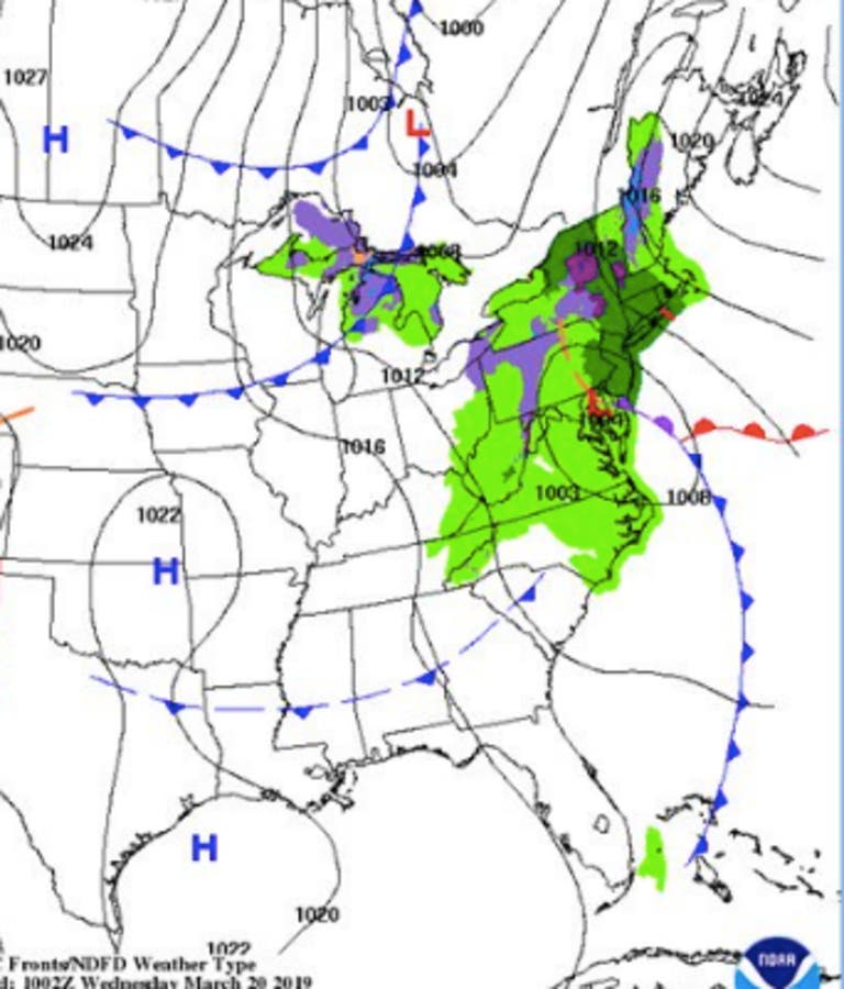
Spring is officially here. To usher in the new season, Mother Nature is bringing a coastal storm Thursday that could cause flooding issues exacerbated by the full moon, forecasters say.
The National Weather Service has issued a Hazardous Weather Outlook across the Philadelphia region in anticipation of the storm. Minor coastal flooding is possible during the Thursday evening high tide cycle, forecasters with the NWS said.
The good news is that temperatures will be warm enough that this storm is not expected to bring accumulating snow to the Philadelphia area. Overnight lows will hover around 40.
Find out what's happening in Newtownfor free with the latest updates from Patch.
The Weather Channel reports Spring's arrival "will be a rude one in the Northeast," due to the coastal storm, which will drop between 1 and 1.5 inches of rain and leave behind wind gusts of up to 40 mph.
The storm's setup is a familiar one: an area of low pressure will spin up, intensify and track near, inland or offshore from the Eastern Seaboard, The Weather Channel reports.
Find out what's happening in Newtownfor free with the latest updates from Patch.
RELATED: Spring Equinox Brings Last Supermoon Of 2019, The Full Worm Moon
"While this storm likely won't pack the widespread snow that we saw last March when four nor'easters hit the region in three weeks, it will still make for a miserable couple of days," The Weather Channel said in a Wednesday update.
Here's what we can expect in the Philadelphia region:
- Rain will impact the region starting overnight Wednesday into Thursday
- Precipitation will primarily fall as rain, with some mixing possible in the Pocono region of Pennsylvania.
- Between 1 and 1.5 inches of rain is likely
- Ponding of water on roads is likely
- High astronomical tides caused by the full moon mixed with the storm's rain could cause minor coastal flooding during the Thursday evening high tide
- High winds will be left behind in the storm's wake, with gusts of 35 to 40 mph possible on Friday and Saturday
Good morning! It was a frosty sendoff to winter this morning before spring arrives this evening. We will enjoy one more dry, pleasant day today. A developing storm will begin to impact us tonight and especially tomorrow. See below for an overview on that. #NJwx #PAwx #DEwx #MDwx pic.twitter.com/cZEAoqkJsP
— NWS Mount Holly (@NWS_MountHolly) March 20, 2019
Here's the local forecast:
Today: Mostly sunny, with a high near 55. South wind 3 to 8 mph.
Tonight: A chance of rain, mainly after 1am. Mostly cloudy, with a low around 40. East wind 5 to 7 mph. Chance of precipitation is 40%. New precipitation amounts of less than a tenth of an inch possible.
Thursday: Rain. High near 51. East wind 6 to 9 mph, with gusts as high as 20 mph. Chance of precipitation is 90%. New precipitation amounts between a half and three quarters of an inch possible.
Thursday Night: Rain likely. Cloudy, with a low around 42. East wind around 7 mph becoming northwest after midnight. Chance of precipitation is 70%. New precipitation amounts between a quarter and half of an inch possible.
Friday: A chance of showers, mainly before 2pm. Partly sunny, with a high near 51. Northwest wind 13 to 18 mph, with gusts as high as 31 mph. Chance of precipitation is 30%. New precipitation amounts of less than a tenth of an inch possible.
Friday Night: Mostly cloudy, with a low around 33.
Saturday: Mostly sunny, with a high near 46.
Saturday Night: Mostly clear, with a low around 34.
Sunday: Sunny, with a high near 59.
Get more local news delivered straight to your inbox. Sign up for free Patch newsletters and alerts.


