Weather
Nor'easter 4 In Pennsylvania: What We Know Right Now
Will nor'easter four be like the first two and dump more March snow on the region? Forecasters have differing predictions.

Forecasters are monitoring the potential for a fourth nor'easter storm next week across the mid-Atlantic region, including in Pennsylvania. And it could be just as bad as the first two storms, some local forecasters are predicting as of Saturday morning.
The storm could bring heavy rain, wet snow and strong winds on Tuesday and Wednesday. But exactly how bad it will be, and if it will in fact result in snow, remains unclear. Forecasters say they are watching the storm's path and expect to have a clearer picture of potential impacts in the coming days.
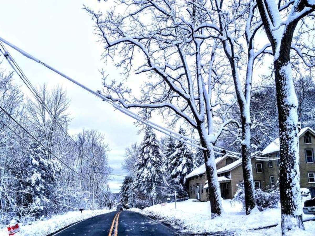
Local forecasters with NBC10 say the track of the fourth nor’easter is following an "eerily similar path" to the first and second nor’easters. "Unlike nor’easter No. 3, which traveled further offshore, diminishing impacts to us, nor’easter No. 4 looks to hug the East Coast, and be a slow-moving storm that delivers multiple impacts," that network said. The second nor'easter storm on March 7 left as much as 16 inches of snow in some parts of suburban Philadelphia.
Find out what's happening in Newtownfor free with the latest updates from Patch.
Forecasters with the National Weather Service have a different prediction for the mid-week storm, however. In a Hazardous Weather Outlook statement Saturday, the NWS said the latest models show the potential for significant impacts decreasing.
"However, given the uncertainty in the track of the storm 3 to 5 days out, it is still too soon to dismiss the threat of heavy rain, wet snow, strong winds and coastal flooding," the NWS said.
Find out what's happening in Newtownfor free with the latest updates from Patch.
The Weather Channel also says it is still too early to determine exactly how much of a blow this storm could deliver to the region.
"While the key details of this forecast, such as who will see snow or rain, how much snow will fall, and how strong the offshore low becomes are not yet in focus this far out in time, the general setup is a familiar one," meteorologists with the Weather Channel report.
Check back for updates. For now, here is the local forecast:
Today: Mostly sunny, with a high near 47. West wind 8 to 14 mph.
Tonight: Mostly clear, with a low around 27. North wind 3 to 6 mph.
Sunday: Sunny, with a high near 49. Northwest wind 5 to 8 mph.
Sunday Night: Mostly clear, with a low around 29. Calm wind becoming north 5 to 7 mph after midnight.
Monday: Sunny, with a high near 46. North wind around 6 mph becoming calm in the afternoon.
Monday Night: A slight chance of rain between 2am and 3am, then a slight chance of snow after 3am. Mostly cloudy, with a low around 29. Chance of precipitation is 20%.
Tuesday: A chance of snow before 3 pm, then a chance of rain and snow. Cloudy, with a high near 37. Chance of precipitation is 50%.
Tuesday Night: A chance of rain and snow before 11pm, then a chance of snow and sleet between 11pm and 2am, then a chance of snow after 2am. Mostly cloudy, with a low around 28. Chance of precipitation is 30%.
Wednesday: A chance of snow. Mostly cloudy, with a high near 37. Chance of precipitation is 30%.
Photo by Mark Doyle
Get more local news delivered straight to your inbox. Sign up for free Patch newsletters and alerts.


