Weather
Snow Now Possible Thursday In Eastern PA; Here's How Much
It is becoming more likely that we could see the season's first dose of snow later this week, according to forecasters.

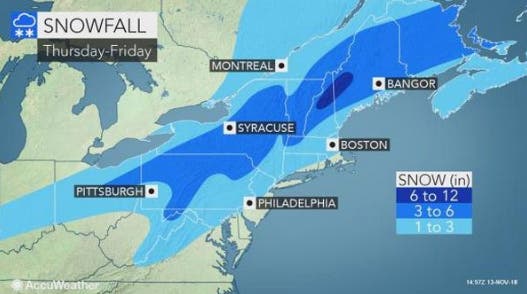
It is becoming more likely that parts of the Philadelphia region could see the season's first dose of snow later this week. A storm expected to arrive Thursday morning could bring 1 to 3 inches of snow to the Philadelphia region, forecasters with The Weather Channel and AccuWeather are predicting.
According to AccuWeather, the storm is the result of a weather pattern that looks more like late December or early January than mid-November. "The pattern not only features much colder-than-average conditions for the middle of November, but is also packed with winter-like storms," AccuWeather said in a news release.
While the bulk of the precipitation is expected to be rain and wintry mix, snow is possible at the onset of the storm, AccuWeather said. The greatest chance of snow will be Thursday before noon.
Find out what's happening in Newtownfor free with the latest updates from Patch.
The Weather Channel explains how much snow ends up falling will ultimately depend on the storm track: a low-pressure system close to the coast or inland would draw warmer air from the Atlantic Ocean, leading to more rain than snow. An offshore track would allow cold air to remain locked in across the East, which means snow or an icy mix over a larger swath of the region.
"Since it may precipitate hard at the onset, when temperatures are near or below freezing in the I-95 zone from Washington, D.C. on up, there can be a quick accumulation that makes some roads slippery," AccuWeather Senior Meteorologist Bernie Rayno said.
Find out what's happening in Newtownfor free with the latest updates from Patch.
Both AccuWeather and The Weather Channel are currently predicting 1 to 3 inches. The National Weather Service does not currently predict accumulation around Philadelphia, but says an inch or so could fall in areas north.
It would be rather early for accumulating snow in the region. In a typical season, the first snowfall in Philadelphia happens around mid-December, according to The Weather Channel. The earliest recorded snowfall here was on Oct. 10, 1979.
Check back for updates as the storm nears.
For now, here's the forecast:
This Afternoon: Scattered showers before 1pm. Cloudy, with a high near 51. Northwest wind around 11 mph, with gusts as high as 21 mph. Chance of precipitation is 30%. New precipitation amounts of less than a tenth of an inch possible.
Tonight: Mostly cloudy, with a low around 31. Northwest wind around 10 mph.
Wednesday
Mostly sunny, with a high near 40. Northwest wind 9 to 14 mph.
Wednesday Night: Partly cloudy, with a low around 27. North wind around 6 mph becoming calm in the evening.
Thursday: A chance of rain and snow before noon, then rain. High near 39. Northeast wind 5 to 7 mph. Chance of precipitation is 80%.
Thursday Night: Rain. Low around 36. Chance of precipitation is 90%. New precipitation amounts between a half and three quarters of an inch possible.
Friday: Rain, mainly before 1pm. High near 49. Chance of precipitation is 80%.
Friday Night: Partly cloudy, with a low around 34.
Saturday: Sunny, with a high near 49.
Saturday Night: Partly cloudy, with a low around 32.
Sunday: Mostly sunny, with a high near 43.
Sunday Night: Mostly cloudy, with a low around 27.
Monday: Mostly sunny, with a high near 44.
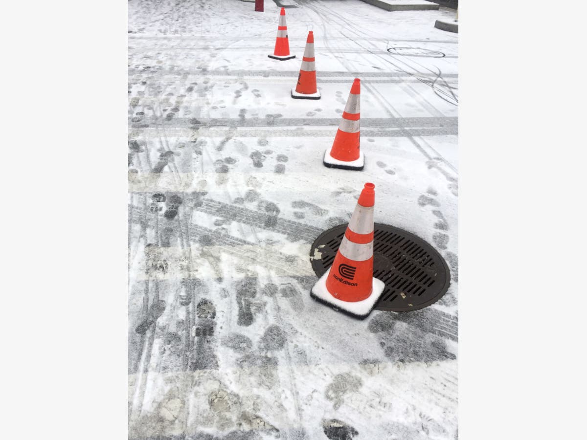
Photo by David Allen/Patch
Get more local news delivered straight to your inbox. Sign up for free Patch newsletters and alerts.