Community Corner
NWS Forecasts 'Wintry Mix' for Some Areas of Northern Virginia
Find out which areas will see sleet Tuesday and when it's going to hit.

What? A weather forecast predicting wintry weather in December?
Yeah, not so unusual, but Northern Virginia saw positively springlike weather Monday, with high temperatures hitting 70 degrees. So it’s hard to believe the area will soon be seeing a drastic change in the weather.
While rain falls across the area Monday night, temperatures are decreasing.
Find out what's happening in Mount Vernonfor free with the latest updates from Patch.
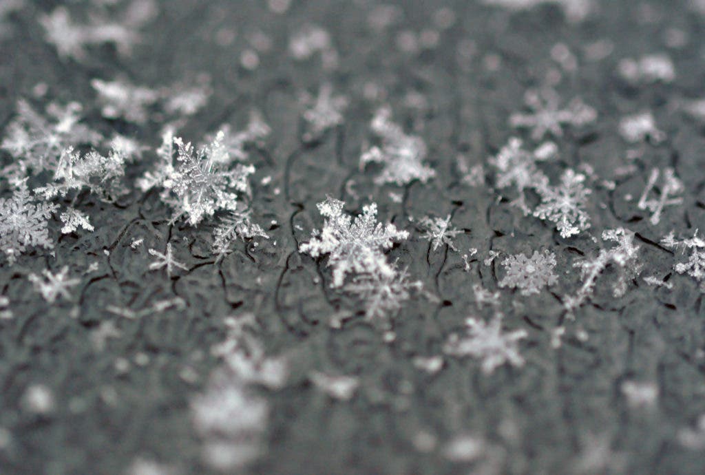
The National Weather Service is forecasting a “wintry mix” of sleet and rain for some areas Tuesday, with highs in the 30s across the region.
The Capital Weather Gang predicts the worst of it will likely hit around the morning commute, from 5-8 a.m. The worst areas for a wintry mix will be in areas north and west of DC.
Find out what's happening in Mount Vernonfor free with the latest updates from Patch.
Here what you can expect across the area on Tuesday:
- In the City of Alexandria: The NWS says the area will first see rain and sleet, Tuesday morning, becoming all rain after 10 a.m. Highs will be near 37 degrees. The chance of precipitation is 90 percent. New sleet accumulation of less than a half inch possible.
- Farther south, near Woodbridge, the NWS forecast is the same as Alexandria — rain and sleet changing to just rain after 10 a.m.
As you head farther west, the forecast gets frostier.
- In western Fairfax County, expect to see rain and sleet Tuesday before 11 a.m., then rain, freezing rain, and sleet between 11 a.m. and 2 p.m., then rain after 2 p.m. The chance of precipitation is 90 percent, with little or no ice accumulation expected. New sleet accumulation of less than a half inch possible. High temperatures will be near 35 degrees.
- In Leesburg, the NWS says the area should expect to see rain, snow, freezing rain and sleet before 1 p.m. Tuesday, then rain or freezing rain between 1-4 p.m., then rain after 4 p.m. High temperatures will only reach near 34 degrees. The chance of precipitation is 90 percent. The weather service says there will be little or no ice accumulation. Expect to see new snow and sleet accumulation of less than a half inch possible.
For more specific information, visit the National Weather Service and plug in your city/county or ZIP code.
Get more local news delivered straight to your inbox. Sign up for free Patch newsletters and alerts.