Community Corner
WEATHER UPDATE: Light Snow to Fall in Connecticut Today
Most of the state will seem some light accumulation, and local meteorologists caution roads may get slippery especially Saturday night.

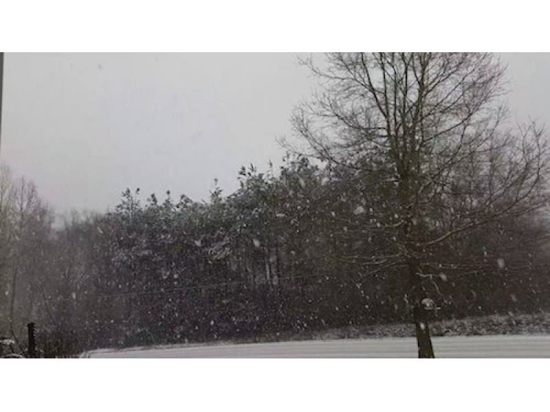
The entire state is or will see snowflakes today as spring continues to be slow in arriving this year.
Some areas of the state including Hartford and Tolland counties will see between 1-3 inches of snow by midnight. A Hazardous Weather Outlook has been issued for both counties.
New London and Middlesex counties are forecast to receive 1-2 inches of snow.
Find out what's happening in South Windsorfor free with the latest updates from Patch.
Northern New Haven County communities could receive at least an inch, while towns along the immediate coastline will receive around n an inch, the National Weather Service predicts.
Fairfield County is also forecast to receive up to an inch or two in spots.
Find out what's happening in South Windsorfor free with the latest updates from Patch.
Despite the lack of significant snow, the National Weather Services cautions roads may be slippery later today and there may also be reduced visibility.
News 12 writes on Facebook: “WEATHER UPDATE: … Scattered light snow begins to fall during the a.m. then mix with rain as temperatures reach the upper 30s. Then we could see a change back to snow during the evening with some light accumulation up to 2 inches. Lows will dip to the lower 20s with gusty winds. It starts to feel a little like Spring next week.
New 8 Meteorologist Gil Simmons writes on Facebook: “Goood morning! Just what you don’t want to hear- wet snow or rain/snow mix around this morning.”
NBC Connecticut Meteorologist Darren Sweeney writes on Facebook: “Welcome to the final weekend of March.
Unfortunately, for those waiting for spring, March looks to end the same way it started. Cold and snowy.
Here’s the deal with today. A developing offshore storm, combined with some instability overhead is going to set up a band of snow across the state.
It’s tough to get accumulating snow this time of year, during the day. For it to happen, you need heavy snow for long periods of time. I do think we’ll see some moderate bands of snow set up across the state (especially the CT River Valley, east) but they will come and go through the day.
Lower elevations: coat up, mainly grassy areas, and then some melting. We keep that process going through the day.
Hill towns: Especially NE hills, will likely pick up a couple of inches. We COULD see a bullseye set up with a localized 3,4” amount (northeast hills looks to be the best spot for this to happen).
EVERYONE gets into some slick travel possible this evening as the bands of snow begin to diminish. When the sun sets some roads may become slick even in the lower elevations.”
Be careful if you’re travelling today.
Other stories on Patch.com include:
Get more local news delivered straight to your inbox. Sign up for free Patch newsletters and alerts.