Community Corner
Arctic Blast Arrives Monday, Code Blue In Some Areas
The record-breaking warm temperatures of December will be a thing of the past early this week.

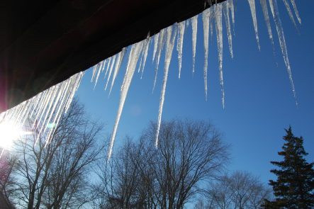
The record-breaking warm temperatures of December will be a thing of the past early this week, as an Arctic air blast makes its way to Pennsylvania.
The National Weather Service says temperatures overnight Sunday into Monday will drop down to the 20s. Daytime highs Monday will be in the low 30s across the state. Some snow is even predicted in the western part of the state on Monday.
The National Weather Service predicts even the Philadelphia region could see some flurries Monday night, when temperatures will dip to the low teens.
Find out what's happening in Newtownfor free with the latest updates from Patch.
Temperatures will stay cold Tuesday, with highs in the 20s again and overnight lows in the upper teens. Wednesday’s high will be in the upper 30s, with overnight lows in the 20s.
Milder air returns Thursday, when temperatures in the mid 40s are predicted throughout the region.
Find out what's happening in Newtownfor free with the latest updates from Patch.
Some Philadelphia-area counties have called a Code Blue Cold Weather Emergency.
A Code Blue Cold Weather Emergency is in place in Montgomery County from 9 p.m. Sunday through 9 a.m. Wednesday.
“A Code Blue Cold Weather Declaration is made in Montgomery County when winter conditions pose a threat of serious harm or death to individuals without shelter. A Code Blue is called when the combination of air temperature and wind chill is anticipated to be 20ºF or less,” officials there said.
Get more local news delivered straight to your inbox. Sign up for free Patch newsletters and alerts.