Weather
Heavy Snow, Brutal Cold Wallops Midwest To Northeast This Weekend
Dangerous cold from the Plains to the Northeast will follow Winter Storm Harper, which is already disrupting air and train travel.


Bitter Arctic air from Canada fueling a massive snowstorm that could drop several feet of snow in some areas as it moves from the Great Plains to New England this weekend. Icy conditions are forecast in the Ohio Valley and Northeast in what forecasters say is the season’s most significant snowstorm of the season.
The storm is expected to bring heavy snow to South Dakota, Nebraska, Minnesota, Kansas, Missouri and Iowa on Friday into Saturday and then move east toward New England over the weekend. The storm is expected to further disrupt air travel already affected by the partial government shutdown.
The storm already caused airlines to cancel flights at airports in the storm’s path, including Chicago O’Hare, Chicago Midway and Detroit. The delays could last into Monday. The flight tracker service FlightAware said 608 flights had been canceled by midday Friday.
Find out what's happening in Across Americafor free with the latest updates from Patch.
Patch is in your town and Across America. Click here for our free morning national newsletter.
As the storm intensifies, more flight cancellations are expected. Amtrak is also modifying train service in the Midwest and Northeast because of the storm. The Capitol Limited, from Chicago to Washington, and the Lake Shore Limited, from Chicago to New York, are canceled on Saturday.
Find out what's happening in Across Americafor free with the latest updates from Patch.
The heaviest snow from “Winter Storm Harper,” as The Weather Channel has dubbedd it, is expected in interior New England and New York state, where 30 to 40 inches are possible. Interstate highways near the Canadian border from New York to Maine are especially vulnerable, according to forecasters. The Ohio Valley and New England are expected to get significant accumulations of ice that could bring down power lines.
Polar Vortex Fracture May Bring 'Wild Wintry Ride' To Much Of US
“The storm is expected to become quite intense on Sunday as its center passes near or just south of New York City,” the National Weather Service said. “Conditions over interior New England could approach blizzard criteria as the storm brings very strong northerly winds together with heavy snow.”
The bitterly cold air from a fractured polar vortex will plunge temperatures to 15 to 25 degrees below normal in many areas Sunday, including as far south as Alabama and North Carolina, where temperatures could dip down to the teens and single digits on Sunday night. Slush and standing water could quickly freeze, making highways and sidewalks treacherous and difficult to clear, and travel is not recommended in the storm’s wake, AccuWeather said.
As the cold air sweeps in, wind chill temperatures will be several degrees below zero through much of the Midwest of Sunday. Boston, New York and Philadelphia are all expected to see single digit or lower temperatures by Monday night and daytime temperatures aren’t expected to recover much.
“Even short-term skin exposure to these temperatures can result in frostbite,” Brett Edwards, a meteorologist for AccuWeather, Edwards warned. “Ensure proper winter clothing to protect yourself and prevent hypothermia if you must be outside.”
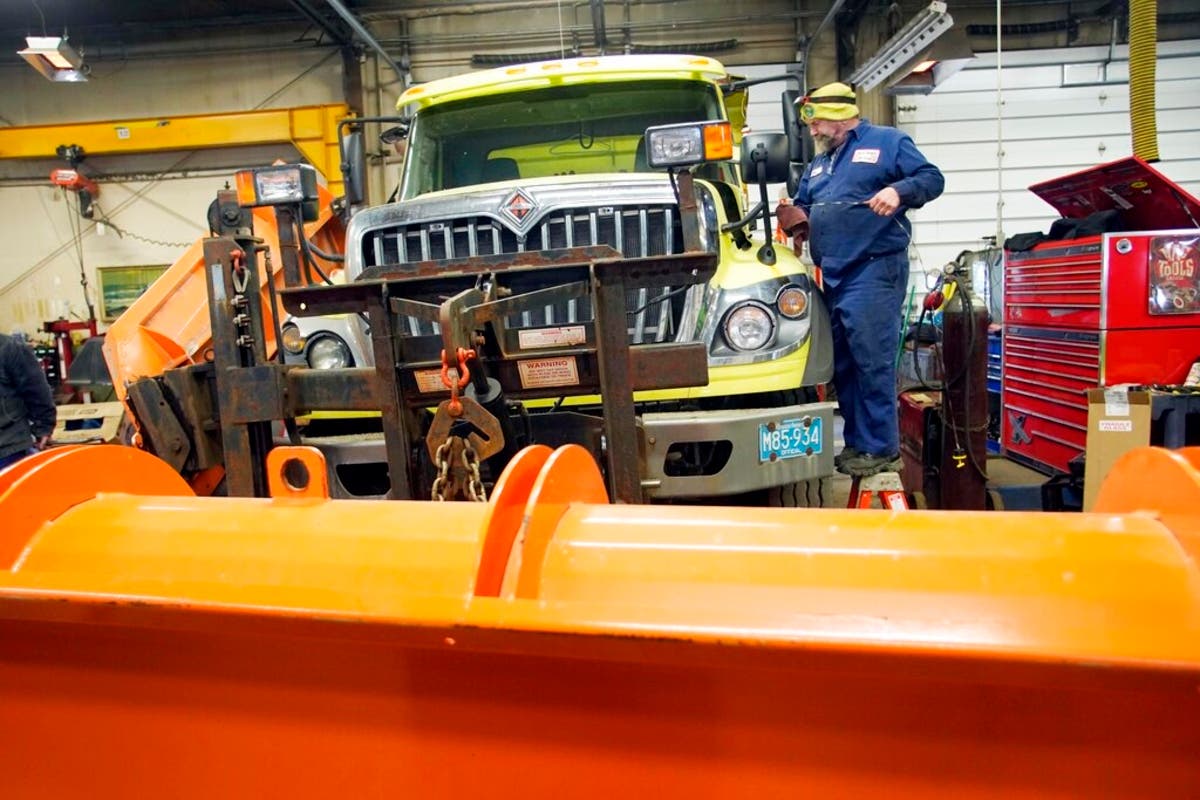
Image: Stuart "Bink" Luhrmann checks the fluid of a plow truck in the Pittsfield, Massachusetts, city garage in advance of an approaching winter storm that could bring significant snowfall in the Northeast over the weekend. "This one drinks antifreeze" said Luhrmann. (Ben Garver/The Berkshire Eagle via AP)
Get more local news delivered straight to your inbox. Sign up for free Patch newsletters and alerts.