Weather
Storm Chances Daily Through Hot, Humid Weekend: VA, DC Weather
The air quality may be harmful for some Wednesday-Friday, said NoVA authorities. Here's a look at the hot and humid weekend forecast.

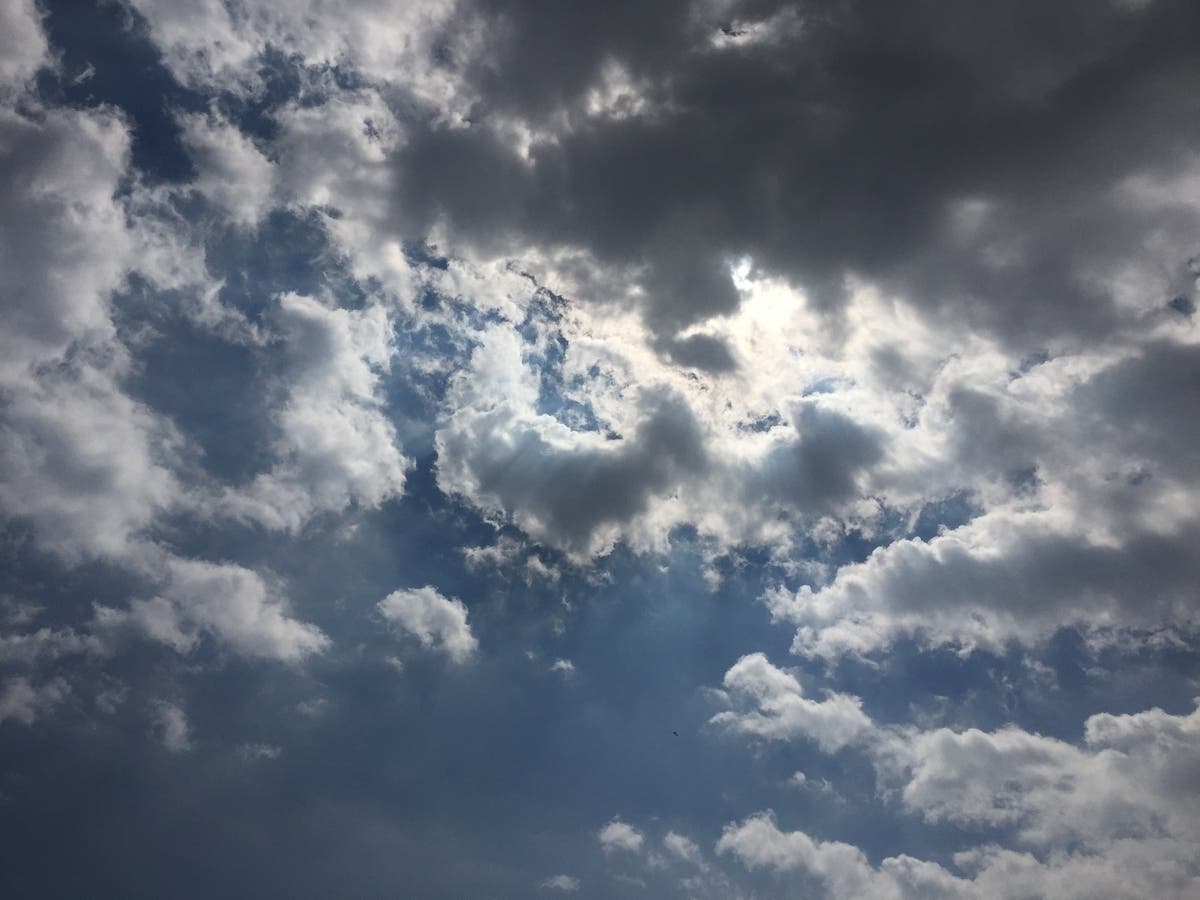
WASHINGTON, DC — Summer heat and humidity will continue through the weekend across Northern Virginia and The District, with predicted high temperatures in the upper 80s Wednesday through Saturday, along with daily rain and storm chances.
A string of hot and humid days are in store for the northeast and mid-Atlantic states, AccuWeather meteorologists say. In Washington, D.C., where the historical average high is close to 90 degrees for much of July, temperatures hit 91 on Sunday and 92 on Monday.
A "code orange" air quality alert is in effect Wednesday, July 5, for the DC region as smoke from fireworks increases air pollution in the atmosphere.
Find out what's happening in Across Virginiafor free with the latest updates from Patch.
The Metropolitan Washington Council of Governments has forecast Code Orange air quality for the metropolitan Washington region through Thursday, July 6. On Tuesday, Fourth of July fireworks are expected to contribute to increased levels of fine particle pollution. On Wednesday and Thursday, ground-level ozone is expected to cause the unhealthy air quality.
The Code Orange levels mean the air is unhealthy for sensitive groups, including children, older adults, heart/lung disease sufferers and asthmatics are considered sensitive. They should make outdoor activities shorter and less intense and watch for symptoms such as coughing or shortness of breath.
Find out what's happening in Across Virginiafor free with the latest updates from Patch.
Residents can check current air quality conditions on COG's website or AirNow.gov.
"Because the 30-year average high temperature has crept upward in recent decades in the nation's capital, the criteria for a heat wave should probably be more like the low to mid-90s for a heat wave, rather than the 90-degree threshold," AccuWeather Senior Meteorologist Dan Pydynowski said. "But, hot is hot."
Even if temperatures hit 90 or fall short of it, it will feel like up to 110 degrees for several hours during the afternoon hours. Light winds, high humidity and sunshine will make it feel about 5 to 10 degrees higher than the actual temperatures in the region.
Here's the National Weather Service forecast for Northern Virginia through the weekend:
Wednesday: A slight chance of showers and thunderstorms after 2pm. Mostly sunny, with a high near 89. Light and variable wind becoming northeast around 6 mph in the afternoon. Chance of precipitation is 20%.
Wednesday Night: Partly cloudy, with a low around 72. East wind around 5 mph becoming calm in the evening.
Thursday: A chance of showers and thunderstorms after 2pm. Mostly sunny, with a high near 89. Calm wind becoming southeast around 6 mph in the afternoon. Chance of precipitation is 30%.
Thursday Night: A chance of showers and thunderstorms, mainly before 8pm. Partly cloudy, with a low around 71. South wind 5 to 7 mph. Chance of precipitation is 30%.
Friday: A slight chance of showers before 11am, then a slight chance of showers and thunderstorms between 11am and 2pm, then showers likely and possibly a thunderstorm after 2pm. Partly sunny, with a high near 89. Chance of precipitation is 60%.
Friday Night: Showers likely and possibly a thunderstorm before 8pm, then a chance of showers and thunderstorms between 8pm and 2am. Mostly cloudy, with a low around 70. Chance of precipitation is 60%.
Saturday: A chance of showers and thunderstorms after 2pm. Partly sunny, with a high near 87. Chance of precipitation is 50%.
Saturday Night: A chance of showers and thunderstorms. Mostly cloudy, with a low around 70. Chance of precipitation is 40%.
Sunday: A chance of showers, then showers likely and possibly a thunderstorm after 2pm. Mostly cloudy, with a high near 85. Chance of precipitation is 70%.
Sunday Night: Showers and thunderstorms likely. Mostly cloudy, with a low around 69. Chance of precipitation is 60%.
Monday: Showers likely and possibly a thunderstorm. Partly sunny, with a high near 84. Chance of precipitation is 60%.
Get more local news delivered straight to your inbox. Sign up for free Patch newsletters and alerts.